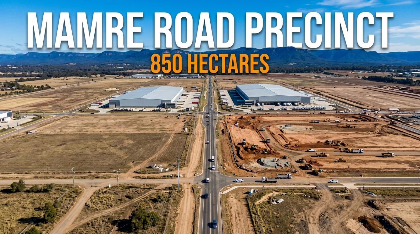
The Mamre Road Precinct is 850 hectares of industrial land at Kemps Creek, rezoned in a single step in June 2020.
It sits between the M4 and the new Western Sydney airport. What gets built there changes traffic, jobs and land values across the surrounding suburbs.
Written by Daniel Whitfield, founder of Australia Develops, who has personally bought, subdivided, and built property across Australia.
What the Mamre Road Precinct Is
It is one rezoning that turned about 1,000 hectares of rural land at Kemps Creek into Sydney’s largest new industrial estate.
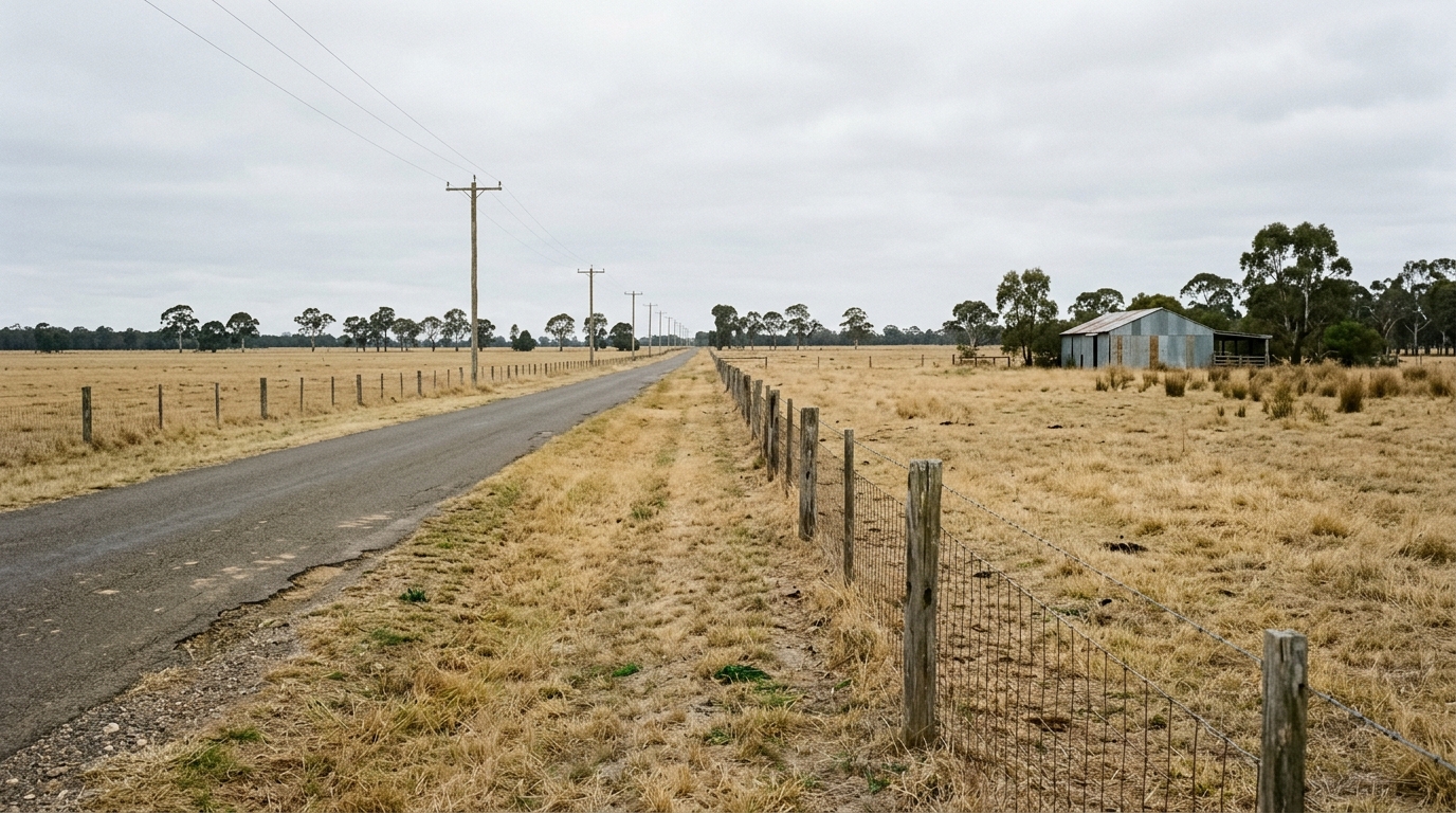
The land sits inside the Western Sydney Employment Area and falls within Penrith City Council. Mamre Road runs through it, linking the M4 Motorway to the north with Elizabeth Drive to the south.
NSW Planning documents describe the rezoning as covering about 1,000 hectares, with 850 hectares zoned industrial.
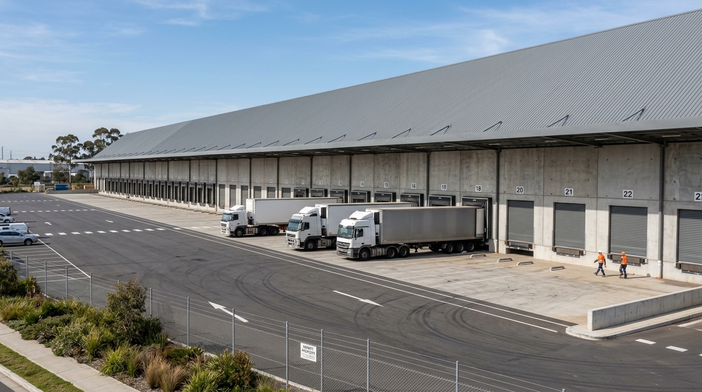
This is warehousing and logistics land, not housing. The product is distribution centres, cold storage and freight handling.
Its value comes from position. Freight moving through Western Sydney International Airport needs somewhere to be sorted, stored and dispatched.
Why This Land
The precinct was chosen for reasons that have little to do with the airport announcement itself.
The precinct fronts Mamre Road between the M4 and Elizabeth Drive. View the location on Google Maps to see it against the surrounding road network.
Google Maps shows the area but not the boundary. For the parcels actually inside the rezoning, the NSW Planning Spatial Viewer is the authoritative source.
It adjoins the existing Western Sydney Employment Area, so it extends an industrial zone rather than starting one in isolation.
The land is flat, held in large rural parcels, and already sits on the freight network between the M4, the M7 and Elizabeth Drive.
Large modern warehouses need very big floor plates. Assembling those from small suburban lots is impractical, which is why rural fringe land carries the industrial rezonings.
Kemps Creek also sits close enough to the airport to serve air freight without competing with residential land for the same sites.
How the Rezoning Happened
The rezoning took effect on 11 June 2020 under the Western Sydney Employment Area State Environmental Planning Policy.
That instrument matters. A SEPP is state planning policy, so this rezoning did not run through the ordinary council process that governs most land use change.
Penrith City Council then adopted the Mamre Road Precinct Development Contributions Plan in 2022, setting what developers pay toward roads, drainage and open space.
Penrith City Council administers that plan. A separate Development Control Plan, made in 2021, sets the design rules for individual sites.
| Date | Instrument or step | What it did |
|---|---|---|
| 11 June 2020 | Western Sydney Employment Area SEPP | Rezoned about 1,000 ha, 850 ha industrial |
| 2021 | Mamre Road Precinct Development Control Plan | Set design controls for individual sites |
| 2022 | Penrith Development Contributions Plan | Set developer contributions toward roads, drainage and open space |
| February 2024 | Road network changes exhibited | Proposed changes to the precinct road layout placed on public exhibition |
| February 2025 | Urban Taskforce submission | Objection lodged on the draft integrated stormwater servicing plan |
| August 2025 | Property Council submission | Objection lodged on the draft Wianamatta–South Creek flood policy |
| February 2026 | First site approved under the controls | Reported by Mirvac with Australian Retirement Trust |
In February 2024 the state placed proposed changes to the precinct road network on public exhibition.
Why a SEPP Rezoning Works Differently
Most land in New South Wales changes zoning through a council planning proposal. A landowner applies, the council assesses it, and the change is made to the Local Environmental Plan.
A State Environmental Planning Policy skips that path. The state makes the instrument directly, and the local plan gives way to it.
That is how 850 hectares moved from rural to industrial in one step rather than parcel by parcel over a decade.
The trade-off is where objections land. Neighbours who would normally argue a rezoning at council level instead find the zoning already settled by the time individual applications arrive.
It also explains the sequencing seen here. The zoning came first in 2020, the design controls in 2021, and the funding framework in 2022.
Anyone assessing land near a state-led precinct should read the SEPP rather than only the council plan. The two say different things, and the SEPP prevails.
The TOD rezoning program uses the same state-led mechanism at 47 railway stations, which is why those controls also arrived without a council proposal.
Who Is Building There
Four named groups have publicly identified projects inside the precinct.
Mirvac, with Australian Retirement Trust, reported in February 2026 that it had secured the first site approved under the Mamre Road Precinct planning controls regime.
Frasers Property Industrial and Altis announced an estate in October 2020 reported at $1 billion, carrying over 400,000 square metres of logistics floorspace.
Goodman operates its Oakdale West Industrial Estate at Kemps Creek, adjoining the precinct area.
Estate names carry weight because the precinct is not built as one project. Each estate applies separately and moves on its own timeline.
Contributions plans decide who pays for the roads and drainage a precinct needs. Where a plan is generous to developers, ratepayers carry more of the cost.
Penrith adopted its plan in 2022, two years after the rezoning took effect. That gap is normal but it means the earliest approvals were assessed before the funding framework was settled.
| Estate or party | Reported detail | Source type |
|---|---|---|
| Mirvac & Australian Retirement Trust | First site approved under the Mamre Road Precinct planning controls, February 2026 | Company statement |
| Frasers Property Industrial & Altis | Reported at $1 billion, over 400,000 m² of logistics floorspace, announced October 2020 | Financial press |
| Goodman | Oakdale West Industrial Estate, Kemps Creek | Company material |
| The Yards | Kemps Creek estate fronting the Mamre Road widening reserve | Project material |
Roads: Mamre Road Widening and the Southern Link Road
Two road projects govern how much of the precinct can actually operate.
A widening reserve runs along the Mamre Road frontage, setting aside land for the road to broaden as traffic grows.
The Southern Link Road is planned to extend from Mamre Road across to Old Wallgrove Road, giving internal estates a second connection.
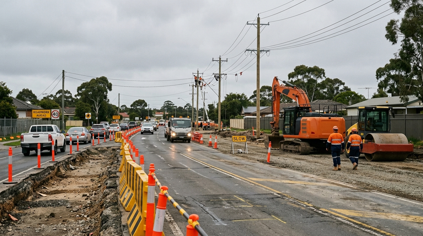
Freight capacity decides staging. A warehouse cannot open ahead of the road that serves it, whatever its approval says.
The same pattern appears at Bringelly and across the Aerotropolis, where road delivery sets the pace rather than planning approval.
The Stormwater Constraint
The precinct drains into Wianamatta–South Creek, an intermittent waterway sensitive to changes in flow and water quality.
Sydney Water runs a dedicated Mamre Road Precinct Stormwater Scheme, with recycled water planned from the Upper South Creek Advanced Water Recycling Centre.
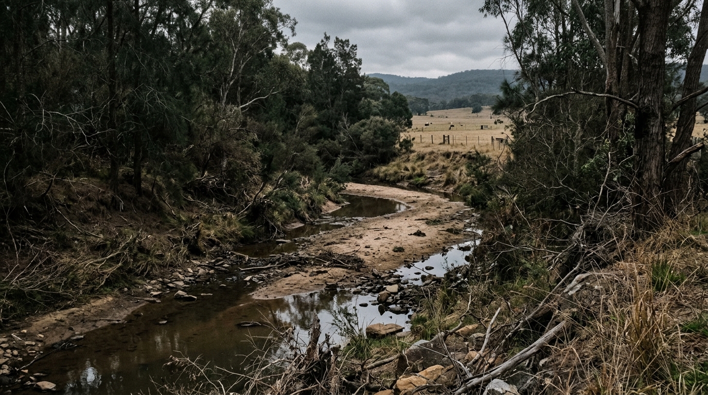
A draft Wianamatta–South Creek flood policy has drawn formal objections. The Property Council argued in August 2025 that it would significantly affect the timing and viability of development in the precinct and the Aerotropolis.
Urban Taskforce Australia lodged a separate submission in February 2025 on the draft integrated stormwater servicing plan.
That dispute is substantial enough to carry its own article, and one will follow. The short version is that drainage capacity, not warehouse demand, is the live question over staging.
What Has Not Been Confirmed
Several widely repeated figures do not come from a government determination.
The floorspace and jobs numbers circulate through industry publications. They project what 850 hectares could eventually hold, rather than describing approved quantities.
No completion date for the full precinct has been published. Individual estates carry their own timelines and nobody aggregates them publicly.
Development application reference numbers for individual estates are not cited here because they were not verified against the planning register at the time of writing.
Separating what a government instrument states from what a marketing document projects is the difference between research and repetition.
How to Check a Specific Site
Three public sources answer most questions about an individual parcel inside the precinct. Each is free, and each is maintained by the body that holds the record.
The NSW Planning Spatial Viewer shows the zone and the planning controls that apply to any address, including land brought in by the 2020 rezoning.
Penrith City Council’s online development services site tracks applications lodged with the council, listing status, milestones and the assessment documents attached to each one.
Applications determined by the state rather than the council sit on the major projects register instead, which publishes submissions and determination reports for each one.
What It Means for Nearby Residential
Kemps Creek, Mount Vernon, Erskine Park and St Clair sit closest to the precinct edge.
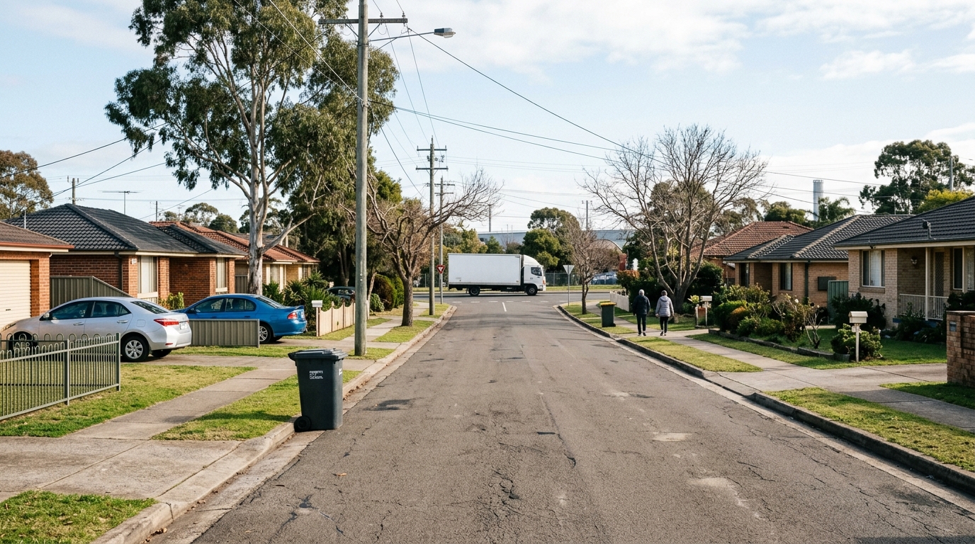
Industrial land next door cuts both ways. It brings employment and infrastructure spending, and it brings truck movements on roads built for a rural population.
Buyers looking at these suburbs should check which side of the precinct boundary a property sits on, and what road staging means for the street it fronts.
Employment growth in the corridor is covered in our article on Western Sydney airport jobs, and suburb effects in the airport hotspots guide.
Price behaviour near a transport project is set out in our analysis of St Marys property prices, where the same corridor logic applies.
Flood and contamination checks matter more than usual beside an industrial precinct. Our guide to flood and bushfire maps covers where to look, and the easements guide covers title checks.
Industry analysis has covered the drainage question in detail. JLL published on the water constraints at Kemps Creek in May 2024, and the Property Council lodged its objection the following year.
Parcel-level controls are searchable on the NSW Planning Spatial Viewer, which shows whether a specific property sits inside the precinct boundary or outside it.
A related 185-hectare area at Orchard Hills, sometimes described as Mamre West, adjoins the existing industrial zone and is treated separately in planning documents.
Mamre Road Precinct: Key Data at a Glance
| Item | Detail | Status |
|---|---|---|
| Location | Kemps Creek, Penrith City Council | Confirmed |
| Total land rezoned | About 1,000 hectares | NSW Planning |
| Industrial land | 850 hectares | NSW Planning |
| Rezoning date | 11 June 2020 | NSW Planning |
| Planning instrument | Western Sydney Employment Area SEPP | Confirmed |
| Development Control Plan | Mamre Road Precinct DCP 2021 | Confirmed |
| Contributions plan | Penrith City Council, adopted 2022 | Confirmed |
| Road changes exhibited | February 2024 | NSW Planning |
| Warehouse floorspace | ~3.5 million m² | Industry estimate |
| Ongoing jobs | ~17,000 | Industry estimate |
| Drainage catchment | Wianamatta–South Creek | Confirmed |
| First site approved under the controls | Mirvac and Australian Retirement Trust, February 2026 | Company statement |
Summary
The Mamre Road Precinct is the largest single piece of industrial rezoning in the Western Sydney airport corridor.
The land changed zoning in June 2020, the design and contributions frameworks followed in 2021 and 2022, and named developers have been securing sites since.
Road delivery and drainage capacity now set the pace, not planning approval. Both deserve closer watching than the headline hectare figure.
Where is the Mamre Road Precinct?
The precinct sits at Kemps Creek in the Penrith local government area, fronting Mamre Road between the M4 Motorway to the north and Elizabeth Drive to the south. It adjoins the existing Western Sydney Employment Area.
How big is the Mamre Road Precinct?
NSW Planning documents describe about 1,000 hectares of rural land rezoned, of which 850 hectares is industrial. Industry publications estimate around 3.5 million square metres of eventual warehouse floorspace.
When was the Mamre Road Precinct rezoned?
The rezoning took effect on 11 June 2020 under the State Environmental Planning Policy for the Western Sydney Employment Area. Penrith City Council adopted a development contributions plan for the precinct in 2022.
Who is building in the Mamre Road Precinct?
Named parties include Mirvac with Australian Retirement Trust, Frasers Property Industrial with Altis, and Goodman at its Oakdale West estate. Mirvac reported securing the first site approved under the precinct planning controls in February 2026.
This article is general information only and is not financial, legal or planning advice. See the Disclaimer for details.