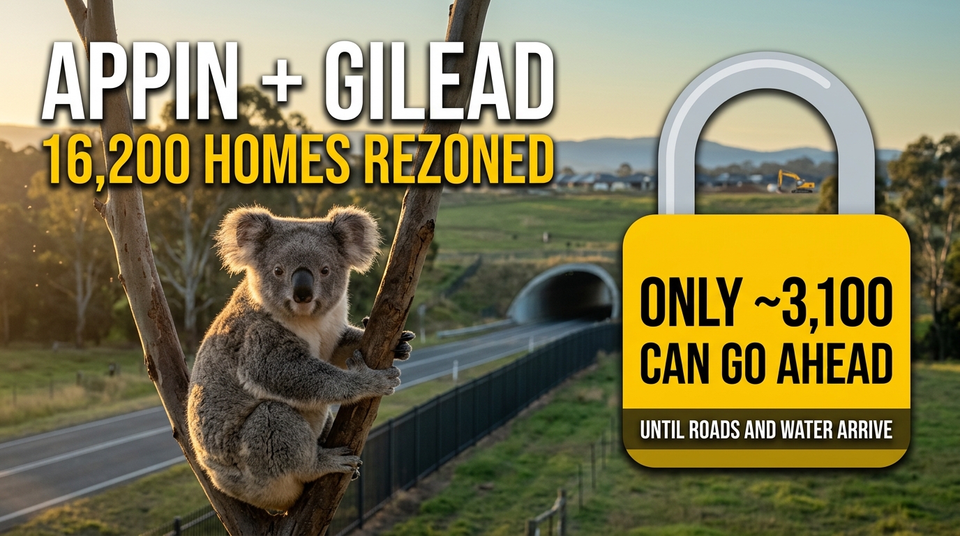
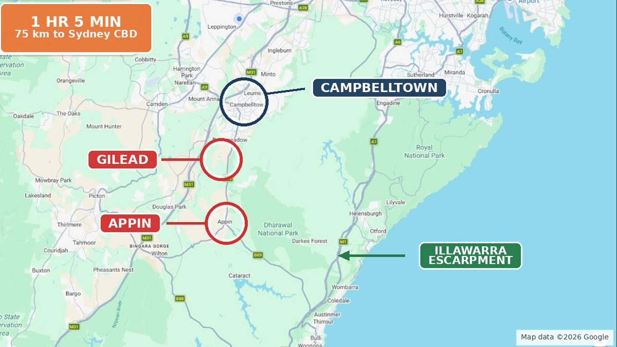
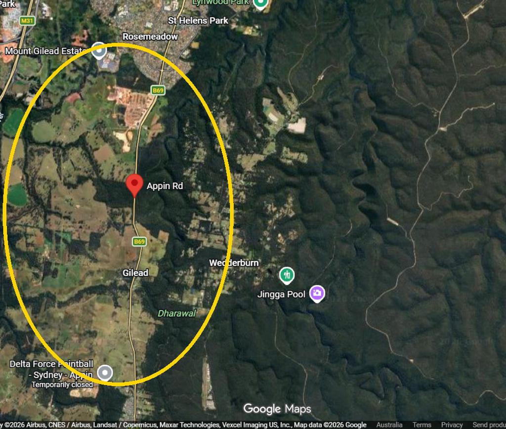
Appin and Gilead sit at the southern end of Sydney’s Greater Macarthur Growth Area, between Campbelltown and the Illawarra escarpment. On paper, the two areas now carry rezoning for more than 16,000 new homes. Yet in 2026 only a fraction of that can go ahead. The reason is simple: the roads, water and koala crossings have to come first. So here is what the state rezoned, who is building, what is funded, and what is still a line on a map.
This article was produced and reviewed by the Australia Develops editorial team. See our Editorial Policy for sourcing standards and methodology.
Appin and Gilead: what the state has rezoned
The NSW Government declared Greater Macarthur a growth area in 2019. The department targets up to 40,000 greenfield homes and up to 40,000 local jobs across the area. Then in November 2022, it put three big sites on a fast “state assessed” planning track: Appin (Part), North Appin and Gilead Stage 2.
- Appin (Part) Precinct. The state rezoned this 1,378 ha precinct on 15 December 2023. It allows up to 12,900 homes, plus open space and local centres. About 470 ha now sits in an environmental conservation zone.
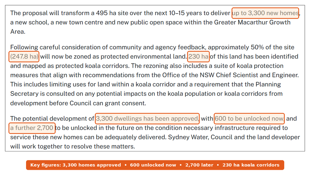
- Gilead Stage 2. This 495 ha site in Campbelltown can take up to 3,300 homes, a new school and a town centre over 10 to 15 years. The planning portal shows the rezoning published on 5 June 2024.
- North Appin. Ingham Property Group’s proposal covers up to 3,000 homes. Its exhibition closed on 6 October 2025, and I couldn’t find a final decision yet.
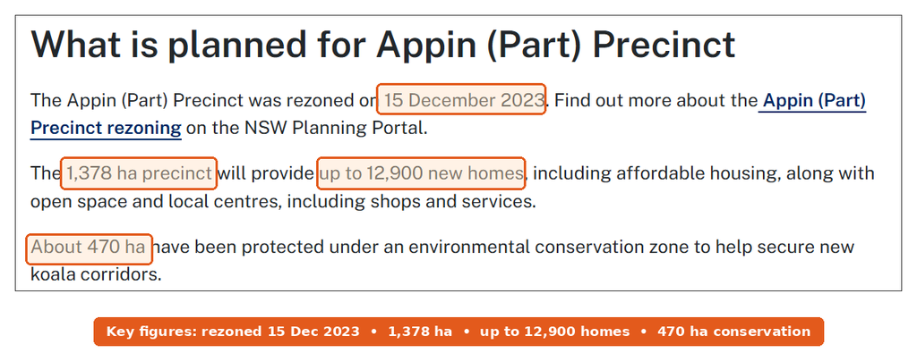
After a second exhibition from 8 September to 6 October 2025, the department approved the final Precinct Structure Plan and Development Control Plan for Appin (Part). That matters because councils can now approve development applications against a settled plan.
Who is building: Walker, Stockland and Ingham
Walker Corporation controls the Appin (Part) Precinct. In August 2024 it lodged what it called Australia’s largest standalone housing development application. Wollondilly Shire Council says the July 2024 lodgement covers more than 9,000 dwellings across 972 ha, plus a detailed first stage of 613 lots. Walker expected approval by June 2025. However, I couldn’t find a public decision. The council says it needs a State Planning Agreement first.
At Gilead, the story starts with Lendlease. It launched Figtree Hill, the 1,700-home first stage, before it sold its communities business. In December 2023 it announced the sale of 12 projects to Stockland and Supalai. Figtree Hill was on that list. So today Stockland runs Figtree Hill and also handles construction enquiries for the Appin Road works next to it.
The dwelling cap that holds Appin and Gilead back
This is the number most buyers miss. Across the Appin area, a cap of 2,499 homes applies “based on available infrastructure capacity and committed upgrades”. That cap covers Appin (Part) and North Appin together. It rises only when new road, water and wastewater capacity arrives.

Gilead Stage 2 works the same way. The department approved 3,300 dwellings, but only 600 can proceed now. The other 2,700 depend on infrastructure arriving first. Sydney Water told the department it could service 600 dwellings in the short term. After that, the long-term fix relies on a connection expected in 2031/32.
On water, Walker signed a memorandum with Sydney Water and coNEXA in April 2024. Under it, Walker will fund $150 million of drinking water, wastewater and recycled water works for Appin, delivered in stages over 20 years. Still, that deal only covers servicing for the first homes. It does not lift the cap by itself.
Koala corridors around Appin and Gilead
South-west Sydney’s koala population lives right across this land, and that shaped every rezoning. The Cumberland Plain Conservation Plan (CPCP) covers Greater Macarthur, Wilton and the Aerotropolis. NSW approved it in August 2022, then the federal government followed in March 2024. It runs to 2056, and the Housing and Productivity Contribution pays for it.
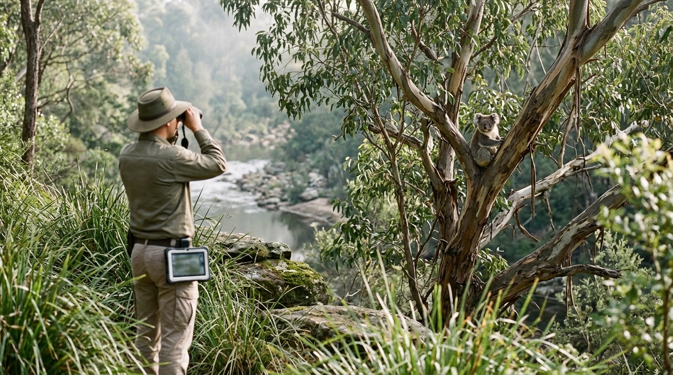
- Gilead Stage 2: about 247.8 ha, roughly half the site, now sits in protected environmental zones. Of that, the state maps 230 ha as koala corridor.
- Appin (Part): about 470 ha of conservation zoning secures much of the Nepean River and Ousedale Creek koala corridors.
- North Appin: the draft plan zones 56 ha as C2 Environmental Conservation, covering part of the Ousedale Creek corridor.
- Warranmadhaa National Park: it will protect up to 1,830 ha of koala habitat along the Georges River. So far, around 970 ha has moved to NSW National Parks.
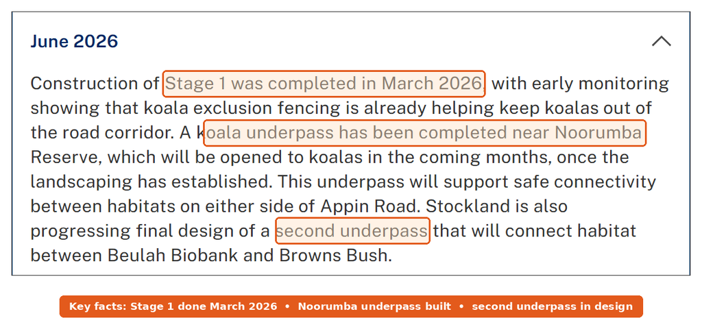
The state has also committed $26.7 million for three koala crossings in Appin. Kings Falls Bridge opened in 2022, and the Upper Canal crossing finished in July 2025. Next, Transport for NSW plans to start the Ousedale Creek underpass, near Brian Road, in 2026.

Appin Road: built, funded and still in design
Appin Road is the only real link between these estates and Campbelltown. So it carries the whole growth story. Three separate jobs run along it, and each has a different funder.
- Rosemeadow to Gilead upgrade. The developer pays for this one through a planning agreement. It widens part of the road to four lanes and adds Figtree Hill intersections, koala fencing and two underpasses. Transport for NSW says Stage 1 finished in March 2026. Stage 2, with a third underpass at Beulah Reserve, is at concept design.
- Safety improvements at Gilead. This covers 3.6 km between Mount Gilead and Brian Road, with wider lanes, wider shoulders and a northbound overtaking lane. The federal government funds it. In 2024, Transport for NSW said work would start in early 2026. Now it lists detailed design, with koala fencing work expected from late 2026.
- Federal funding. Canberra’s project list shows $122 million for “Upgrade of Appin Road between Rosemeadow and Appin”. It is still marked “In planning”.
Put simply, the four-lane section ends near Gilead. South of there, Appin Road stays two lanes through the koala corridors into Appin village.
Transport beyond Appin Road
Two longer-term corridors keep appearing in marketing for this area. First, the Greater Macarthur Transit Corridor would run from Menangle Road at Menangle Park south to Appin. It would carry dedicated rapid bus lanes, plus walking and cycling paths. Transport for NSW agreed its location in 2023, and the planning department is still preparing the formal mapping. Transport for NSW will stage delivery “based on housing planning proposals for the area and funding availability”. In other words, nobody has funded it yet.
Second, the Outer Sydney Orbital Stage 2 corridor would link the Hume Motorway to Appin Road, passing south of Appin township. Transport for NSW named a preferred corridor in September 2021. Today it still says it is “working towards protection” of the wider orbital corridor. So no construction money exists, and there’s no timeline either.
What’s still missing / not confirmed
- The Appin State Planning Agreement. The department says one “will also need to be prepared” to deliver infrastructure. I couldn’t find a signed version.
- Walker’s development application. Walker expected approval by June 2025, but I found no public determination.
- Gilead Stage 2’s structure plan. The department says a Precinct Structure Plan, DCP and planning agreements must come before homes. Its page hasn’t changed since January 2024.
- Schools and emergency services. Appin has land for three school sites, plus fire, ambulance and police. Yet these come “in later stages as the population grows”, with no dates.
- Council support. Wollondilly Council’s position is that Appin “should not be developed before Wilton or before 2036 at the earliest”.
How Appin and Gilead compare with other south-west estates
Gilead feels like an outer edge of Campbelltown and Macarthur, with its hospital and train line to the north. By contrast, Appin is a village that would grow into a town. Compared with Leppington or Oran Park, both areas sit further from rail and from the airport jobs. They also face tighter caps, because the koala corridors limit how wide the roads can grow.
My take: of Appin and Gilead, Gilead is the safer bet right now. Figtree Hill already has homes, the four-lane road section is open, and Campbelltown’s services are close. Appin is a 20-year project. The 12,900-home figure is real zoning, but the 2,499 cap is what matters for the next five years. So until a State Planning Agreement and a funded Appin Road duplication appear, I’d treat any Appin price premium as paying for hope.
If airport jobs matter more to you than koala views, compare Appin and Gilead with these Western Sydney airport hotspots before you commit.
This article is general information based on NSW Department of Planning, Housing and Infrastructure, Transport for NSW, Wollondilly Shire Council, Australian Government and developer announcements available at publication. It isn’t financial advice. Caps, approvals and road timelines can change, so check current details with the department and your council before you buy.