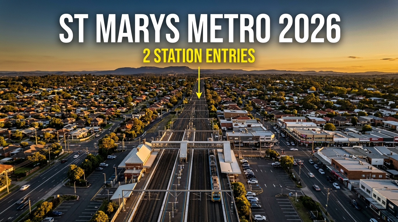
The St Marys metro station will sit beneath the platforms already there. Two entries, one on Station Street and one on Harris Street.
That detail decides more than the suburb name does. This is what the public record confirms about the station, the airport line, the town-centre park and the planning controls.
Written by Daniel Whitfield, founder of Australia Develops, who has personally bought, subdivided, and built property across Australia.
Where the St Marys Metro Station Will Sit
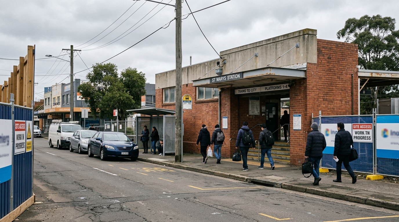
The metro platforms go underneath the existing Sydney Trains station, with street access at two separate points.
| Element | Detail |
|---|---|
| Platform location | Beneath the existing St Marys suburban rail station |
| Entry 1 | Station Street |
| Entry 2 | Harris Street |
| Role on the network | Northern interchange between the airport line and the existing Western Line |
| Council | Penrith City Council |
Sydney Metro describes St Marys as a strategic centre and a new gateway to Sydney.
The same material notes provision for integrated station and precinct development, which local character and planning controls still govern.
Two entries matter because foot traffic does not spread evenly. It concentrates where people arrive, cross, wait and transfer.
Station Street and Harris Street are those points. Queen Street, the town-centre spine, sits a short walk beyond them.
The interchange role is the part that separates St Marys from the other five stations on the line.
Why the Interchange Role Is Different
Orchard Hills, Luddenham, Airport Business Park, Airport Terminal and Bradfield are new precincts. St Marys already has a suburban station, a town centre and established housing stock.
That means the metro arrives into an existing catchment rather than creating one. The population, the retail strip and the street grid are already there.
Existing Western Line services run through St Marys toward Penrith in one direction and Parramatta and the city in the other.
A passenger changing at St Marys can reach the airport line without leaving the station. That is what “interchange” does to a location that already has services.
The Airport Line: 23 Kilometres, Six Stations
The line runs 23 kilometres between St Marys and Bradfield, connecting to Western Sydney International Airport.
St Marys is the northern end. The line does not only point south toward the airport — it pulls attention north, because this is where the airport metro meets the established network.
Sydney Metro puts the Airport Terminal at about 15 minutes from St Marys, and Bradfield at about 20.
Those figures matter for the same reason the station entries do. They change who considers living in St Marys and commuting elsewhere.
What Exists So Far
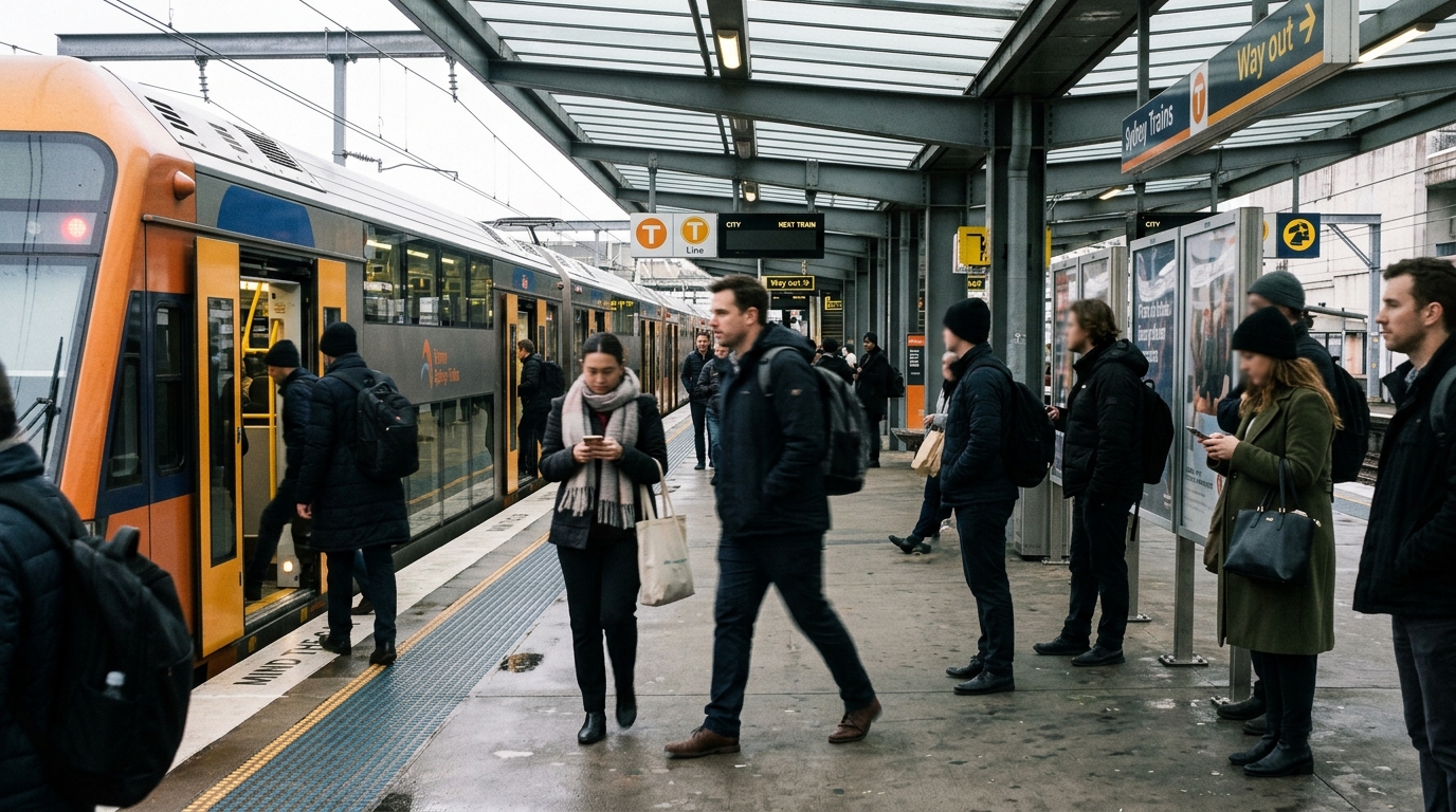
Tunnelling finished in June 2024 and the first trains reached Sydney in July 2026.
Sydney Metro reported the first of 12 new airport metro trains arrived in Sydney on 6 July 2026.
Sydney Metro reported rail steel laying between St Marys and Bradfield running to mid-2026, at more than 6,400 tonnes of Australian-made steel.
The distinction worth holding is between announced and delivered. Tunnelling, track and rolling stock are delivered items with dates attached.
St Marys Central Park and the Town Centre
The third confirmed layer is public space, not a tower.
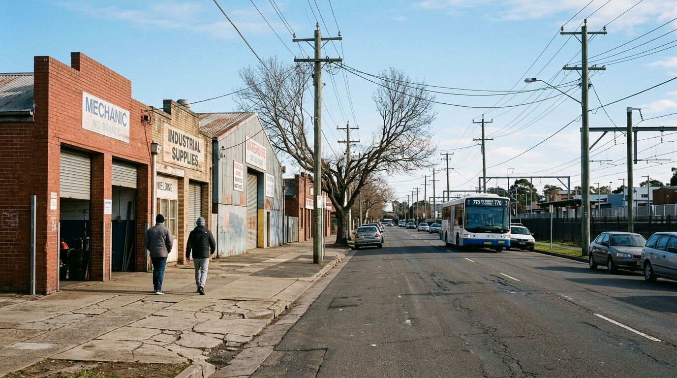
Penrith City Council describes the new park as the civic green heart of St Marys.
The design connects Queen Street, Coachmans Park, Ripples, local shopping precincts, community facilities and infrastructure.
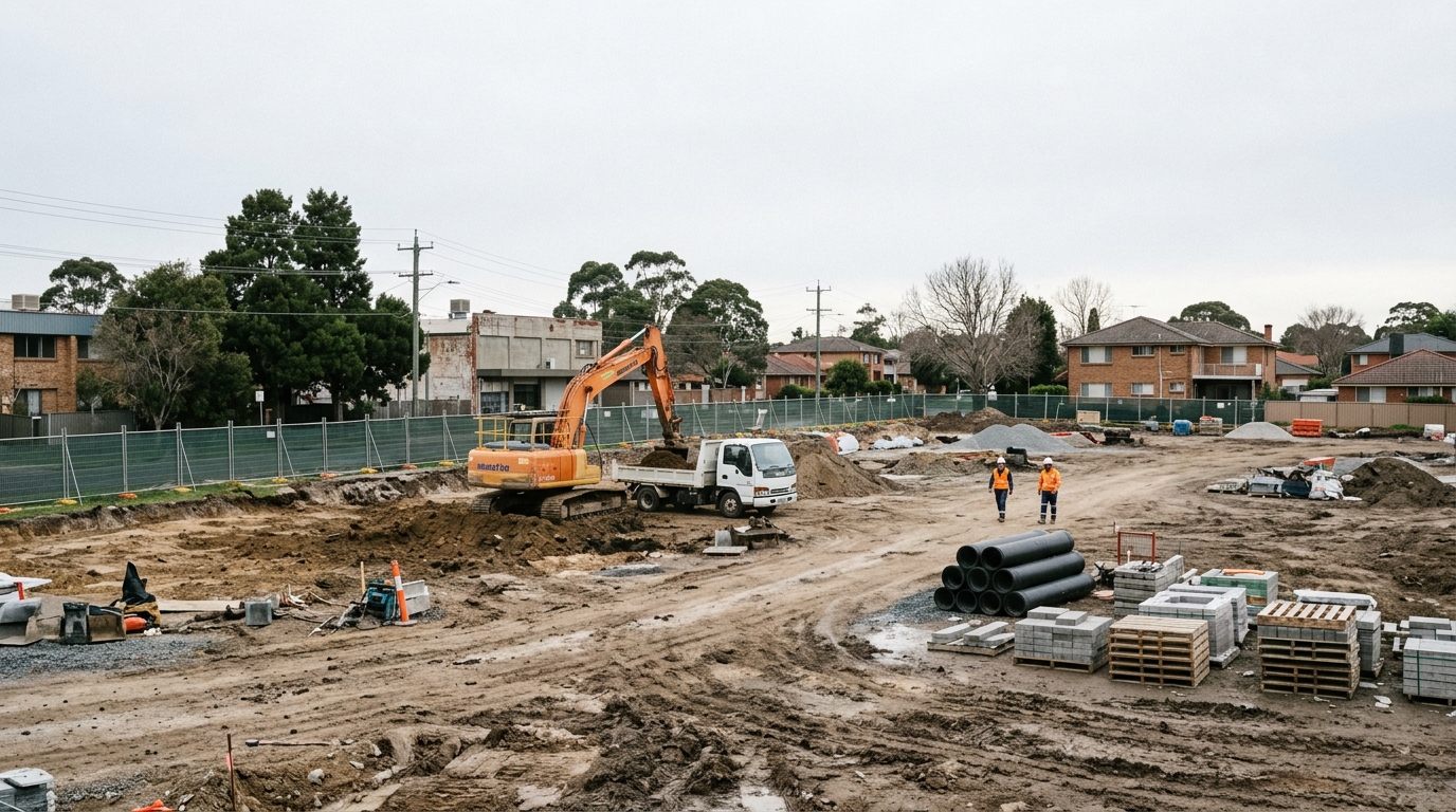
Council scheduled early works to begin on site in early June 2026, and anticipates completion in early 2028, weather permitting.
The scope lists bulk earthworks, contamination remediation, concreting, landscaping, external services and associated activities.
Contamination remediation in the scope is worth noting. It signals ground conditions that a nearby private site may also carry.
A civic green space changes how people use a centre after work and on weekends. That supports cafes, small retail and apartment living, because higher-density housing needs usable public ground.
Three Separate Public Spaces, Not One Park
Coachmans Park and Kokoda Park already sit near Queen Street. The Central Park project area is a separate site rather than an extension of either.
Treating them as one continuous park misreads the layout. They are three public spaces along the same walking route between the station and the town centre.
Council material frames the project as connecting those anchors rather than replacing them. That distinction matters for anyone judging walking distance from a specific address.
The completion window also sets expectations. Works running from June 2026 to early 2028 means the area sits in construction condition for most of that period.
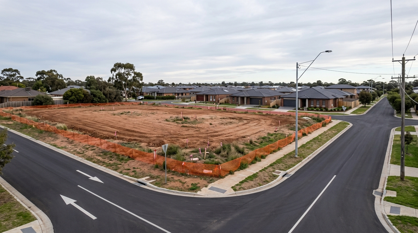
Construction phases bring fencing, truck movements and noise before they bring amenity. A property settling in 2026 experiences the works, not the finished park.
Transport Oriented Development Controls
St Marys Metro is listed under Penrith in the state TOD program, and Penrith council applied its controls in February 2026.
NSW Planning publishes that listing. The wider program across 47 stations appears in our TOD rezoning guide.
The most common error is hearing “TOD” and assuming uniform uplift. Uplift is not uniform, and the listing alone changes nothing on a specific title.
A block on Station Street and a block in an established low-density street several hundred metres out sit under different controls.
Comparable situations have played out at Bankstown and Liverpool, where station proximity and zoning diverged street by street.
St Marys Metro is one entry on a state-wide list. The same program names dozens of stations across Sydney, each with its own council response.
Being on the list places a station inside the program. It does not set the numbers. Those come from the local plan the council applies.
What a Local Environmental Plan Actually Controls
A Local Environmental Plan controls what a parcel can carry: permitted land uses, maximum building height, floor space ratio, minimum lot size and heritage status.
Two adjoining lots can hold different height limits where a zone boundary runs between them. Zone boundaries do not follow street frontages neatly.
Overlays sit on top of that. Flood planning, bushfire prone land, acid sulfate soils and contamination each restrict what an owner can build regardless of the zone.
Where a site carries contamination history, remediation costs land before construction begins. The Central Park scope naming remediation is a signal about ground conditions in the wider area.
Foot traffic concentration is the mechanism people are actually betting on. Retail rents and ground-floor values respond to where people walk, not to how far a suburb sits from an airport.
That is why the entry streets matter more than the suburb name, and why measured walking distance beats a straight line on a map.
What Has Not Been Confirmed
Several things get repeated about St Marys that do not have a published source behind them.
The material reviewed here confirms no passenger service date for the airport line. Trains arriving in Sydney is a delivery milestone, not an opening date.
The TOD listing sets no specific building heights for individual St Marys sites. Heights come from the Penrith Local Environmental Plan, parcel by parcel.
The reference to provision for integrated station and precinct development is exactly that — provision, stated as subject to local character and planning controls.
This article names no development application numbers for station-precinct buildings, because none checked out against the register. A reference number that cannot be checked is worth less than saying so.
Separating delivered milestones from stated intentions is the difference between research and speculation on a project this size.
Checking a Specific Property
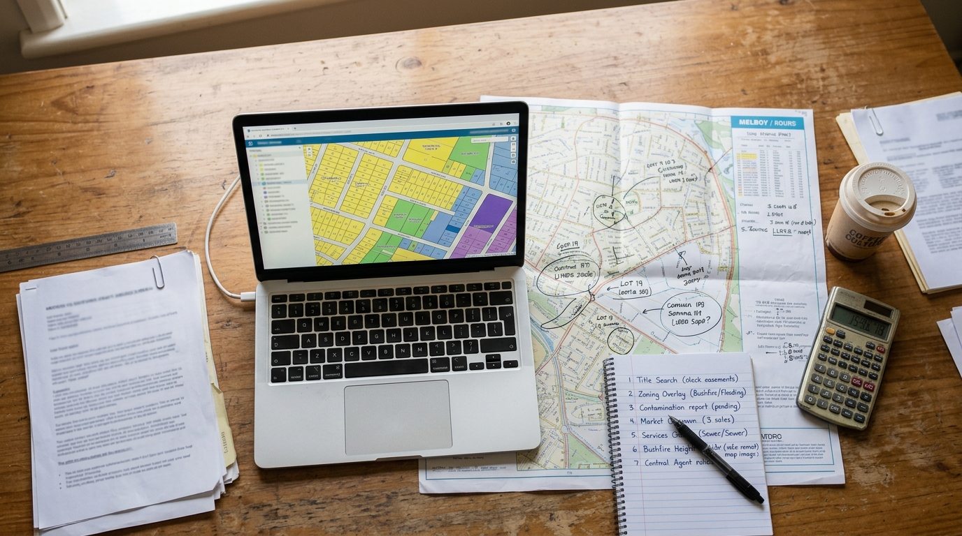
Controls apply parcel by parcel, so an owner has to check each St Marys address individually rather than by suburb.
| Check | Where |
|---|---|
| Whether TOD controls apply to the parcel | NSW Planning Spatial Viewer |
| Height, floor space ratio, parking, land use | Penrith Local Environmental Plan |
| Heritage listing | Penrith LEP heritage schedule |
| Flood and bushfire exposure | Council mapping and the state hazard layers |
| Contamination history | Council records and the site audit register |
| Registered easements | Title search |
| Distance to Station Street or Harris Street entries | Measured, not estimated |
Penrith City Council holds the Local Environmental Plan that sets height, floor space and parking for each zone.
Flood and contamination mapping appears in our guide to flood and bushfire maps. Easements appear in the easements guide.
Sale evidence only becomes comparable once those constraints match. Current St Marys figures are set out in our article on St Marys property prices.
For how the corridor fits the wider airport catchment, see the Western Sydney Airport guide and the airport hotspots suburb guide.
Portal listings give the sale evidence side. Property.com.au and Domain both publish St Marys suburb data, using different methods.
Measure distance to the station entries at Station Street and Harris Street specifically, not to the suburb centroid or the existing platform.
Two properties equidistant from the station on a map can sit very differently once the actual entry points and walking routes come into play.
Precinct context matters alongside the parcel checks. Comparable corridor analysis is set out for Leppington and Austral.
St Marys Metro and TOD: Key Data at a Glance
| Item | Detail | Source |
|---|---|---|
| Station location | Beneath the existing suburban station | Sydney Metro |
| Station entries | Station Street and Harris Street | Sydney Metro |
| Line length | 23 kilometres, St Marys to Bradfield | Sydney Metro |
| Stations on the line | Six | Sydney Metro |
| St Marys to Airport Terminal | About 15 minutes | Sydney Metro |
| St Marys to Bradfield | About 20 minutes | Sydney Metro |
| Tunnelling completed | June 2024 | Sydney Metro |
| First tracks laid | April 2025 | Sydney Metro |
| First trains arrived | 6 July 2026 | Sydney Metro |
| TOD controls applied | February 2026 | NSW Planning |
| Central Park early works | Early June 2026 | Penrith City Council |
| Central Park completion | Early 2028, weather permitting | Penrith City Council |
| Council | Penrith City Council | — |
Summary
Several confirmed pieces overlap in one place at St Marys. A metro interchange, two named station entries, transport-oriented planning controls and a civic park entering physical works.
None of them applies evenly across the suburb. The St Marys metro station entries sit on Station Street and Harris Street, and distance from those points is measurable rather than notional.
What a specific title can do still comes down to the parcel: its zoning, its constraints, and the controls Penrith applied in February 2026.
Where will the St Marys metro station entries be?
Sydney Metro lists two entries, one on Station Street and one on Harris Street. The metro platforms will sit beneath the existing Sydney Trains suburban station.
How long will it take to get from St Marys to Western Sydney Airport?
Sydney Metro public material puts the trip from St Marys to the Airport Terminal at about 15 minutes, and St Marys to Bradfield at about 20 minutes.
Does the TOD program mean any St Marys block can be developed?
No. The listing places St Marys Metro inside the state program with Penrith council controls applied in February 2026. Height, floor space, heritage, flooding and contamination controls still apply parcel by parcel.
When will St Marys Central Park be finished?
Penrith City Council scheduled early works to begin on site in early June 2026, with completion anticipated in early 2028, weather permitting.
This article is general information only and is not financial, legal or planning advice. See the Disclaimer for details.