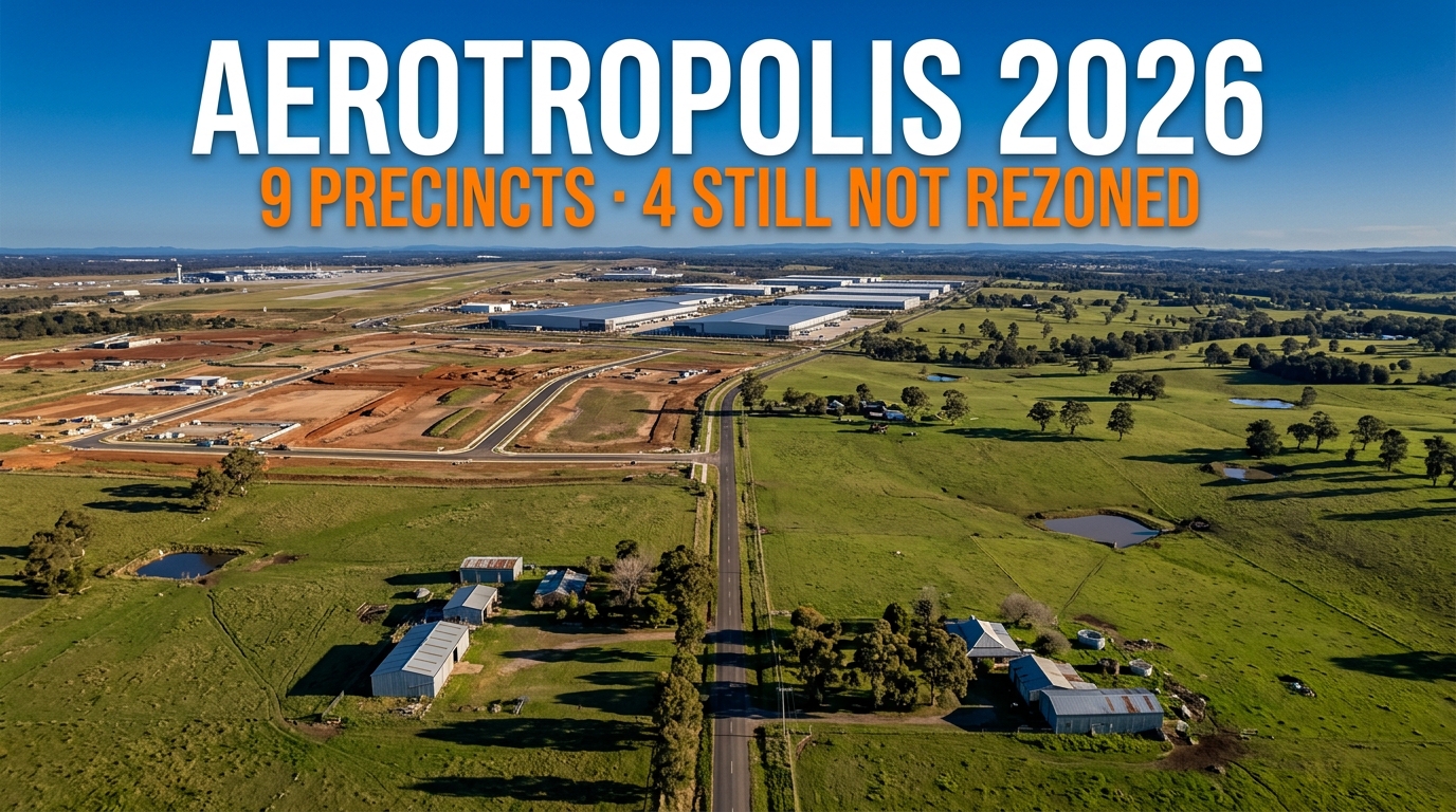
The policy defines nine Aerotropolis precincts. Five of them carry zoning. Four have sat outside the land application map since the day the policy commenced in October 2020.
Every project in the Aerotropolis pipeline sits in those five. The other four hold no precinct plan, no published rezoning date and no departmental page.
Written by Daniel Whitfield, founder of Australia Develops, who has personally bought, subdivided, and built property across Australia.
Aerotropolis Precincts in 2026 — Five Zoned, Four Outside the Map
The split is written into the policy itself rather than inferred. A note in the instrument names all nine precincts and records which ones the map covered at commencement.
| Precinct | On the land application map | What the department publishes |
|---|---|---|
| Aerotropolis Core | Yes, since 1 October 2020 | Precinct page, precinct plan, master plans |
| Northern Gateway | Yes, since 1 October 2020 | Precinct page and precinct plan |
| Badgerys Creek | Yes, since 1 October 2020 | Precinct page and precinct plan |
| Agribusiness | Yes, since 1 October 2020 | Precinct page and precinct plan |
| Wianamatta–South Creek | Yes, since 1 October 2020 | Precinct page, precinct plan, flooding policy |
| Rossmore | No | Nothing precinct-specific |
| Kemps Creek | No | Nothing precinct-specific |
| North Luddenham | No | Nothing precinct-specific |
| Dwyer Road | No | Nothing precinct-specific |
That first rezoning covered about 6,500 hectares in a single decision. It landed as the fifth tranche of the NSW Planning System Acceleration Program, with a determination deadline of 11 September 2020.
The policy commenced on 1 October 2020 and the five precincts took their zoning that day. Nearly six years later the remaining four still wait.
Landowners in Badgerys Creek and the Northern Gateway have watched estates, master plans and approvals arrive. The four outside the map have watched the same process happen next door.
Where the Unzoned Aerotropolis Precincts Sit
Schematic layout — relative positions only, not to scale.
The four unzoned precincts do not form one block. Rossmore and Kemps Creek lie east of the airport, while North Luddenham sits north of Luddenham.
Google Maps shows the localities but not the precinct boundaries. For the boundary and the controls applying to any parcel, the NSW Planning Spatial Viewer is the authoritative source.
What the Policy Actually Says
The instrument is State Environmental Planning Policy (Precincts — Western Parkland City) 2021. Its own note settles the question of which precincts exist and which the map covers.
The note records nine precincts and states that on commencement the land application map would include Aerotropolis Core, Northern Gateway, Wianamatta–South Creek, Badgerys Creek and Agribusiness only.
That note still appears in the consolidated version. The department has published no amendment bringing the remaining four onto the map, and no precinct plan covers them.
A landowner in one of the four therefore sits inside the Aerotropolis boundary while remaining outside the instrument that gives the Aerotropolis its zoning.
The 30-Kilometre Reach That Catches Unzoned Land
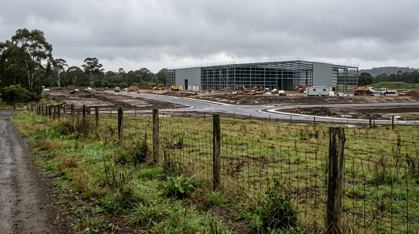
Being off the map does not mean escaping the policy. Three sets of provisions reach beyond it, and they cover land that merely surrounds the mapped precincts.
Section 4.13, Part 4.3 and section 4.27 apply to surrounding land. Part 4.3 carries the airport safeguarding controls and section 4.27 deals with transport corridors.
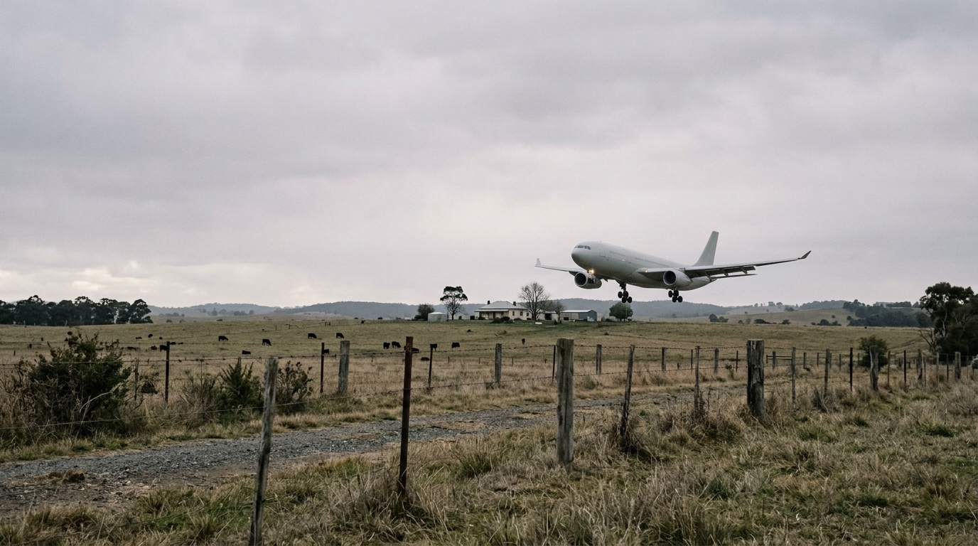
The policy’s own note states how far those provisions travel. They extend up to 30 kilometres from the airport, which reaches well past the Aerotropolis boundary itself.
Aircraft noise contours, obstacle limitation surfaces and wildlife attraction controls therefore bind land in Wollondilly, Camden and beyond. The suburbs around the airport feel those controls without gaining any Aerotropolis zoning.
For an unzoned landowner this produces an odd position. The parts of the policy that restrict what you may build already apply, while the parts that would give you new development rights do not.
Existing Use Rights Still Apply
The department states plainly that existing use rights continue on zoned land in the Aerotropolis. A house, farm or business that lawfully operated before the rezoning may continue.
It published a community guideline specifically to explain this, which tells you how often the question comes up. Rezoning changes what may be approved next, not what already lawfully exists.
What Existing Use Rights Do Not Give You
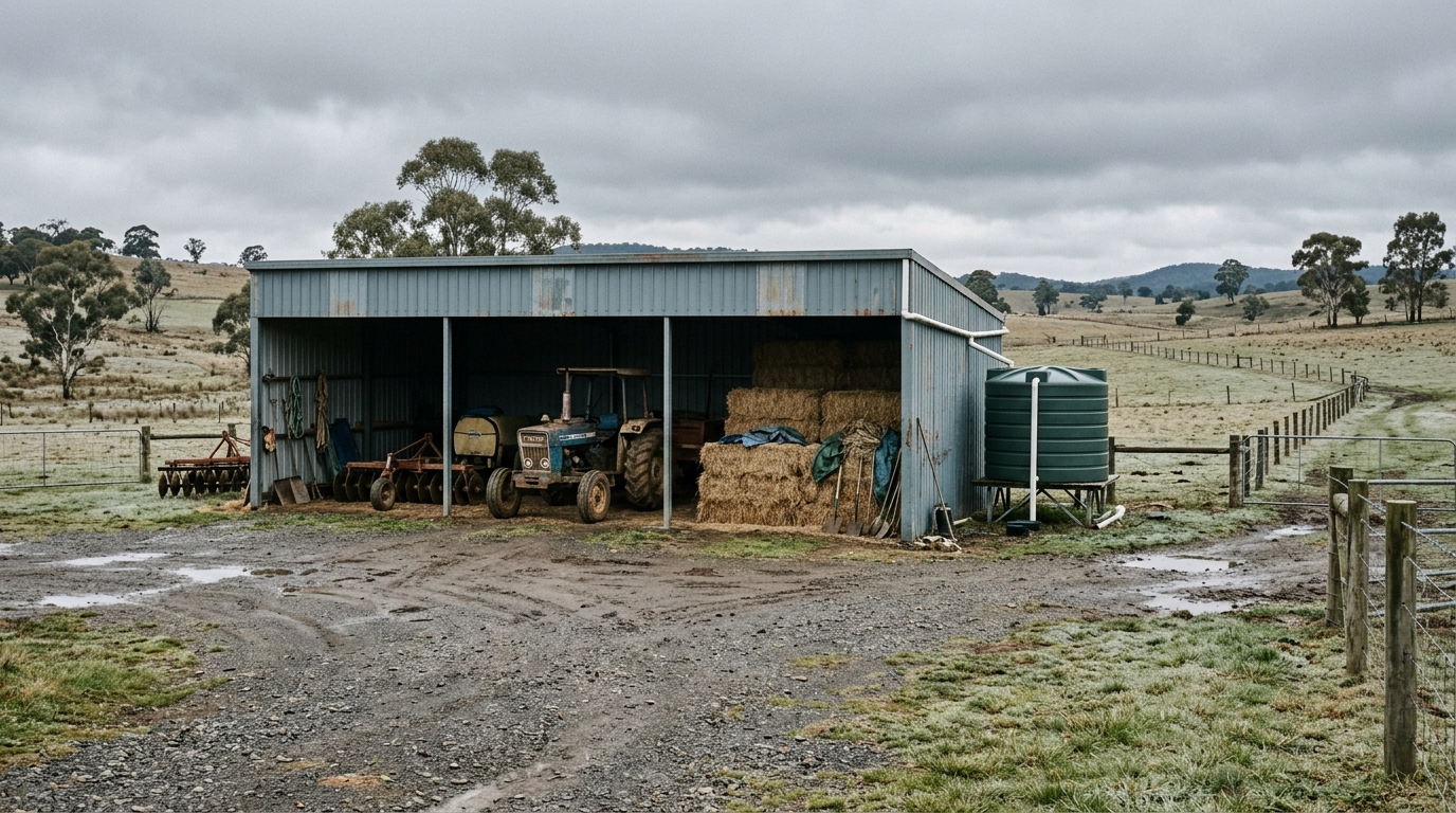
They do not create a right to expand, rebuild at a larger scale or change to a different use. They attach to the use that was lawfully operating, and they can lapse if that use stops.
Anyone relying on them should get advice on the specific facts. The doctrine is narrow, and its limits decide whether a property retains value as an operating business or only as land.
Six Years of Framework, Four Aerotropolis Precincts Untouched
The department publishes its own timeline for the planning framework. Read it against the four unzoned precincts and the pattern becomes hard to miss.
Every entry after October 2020 refines the five zoned precincts, from Bradfield to the Agribusiness precinct. Amendments, control plans, contributions and master plans all operate on land that already carried zoning.
Nothing on that timeline brings Rossmore, Kemps Creek, North Luddenham or Dwyer Road onto the map. The department has published no program and no indicative date for them.
Luddenham Village Sits Somewhere in Between
One area received a third kind of answer. The government exhibited a Luddenham Village Discussion Paper in late 2021 and finalised a Luddenham Village Interim Strategy on 25 March 2022.
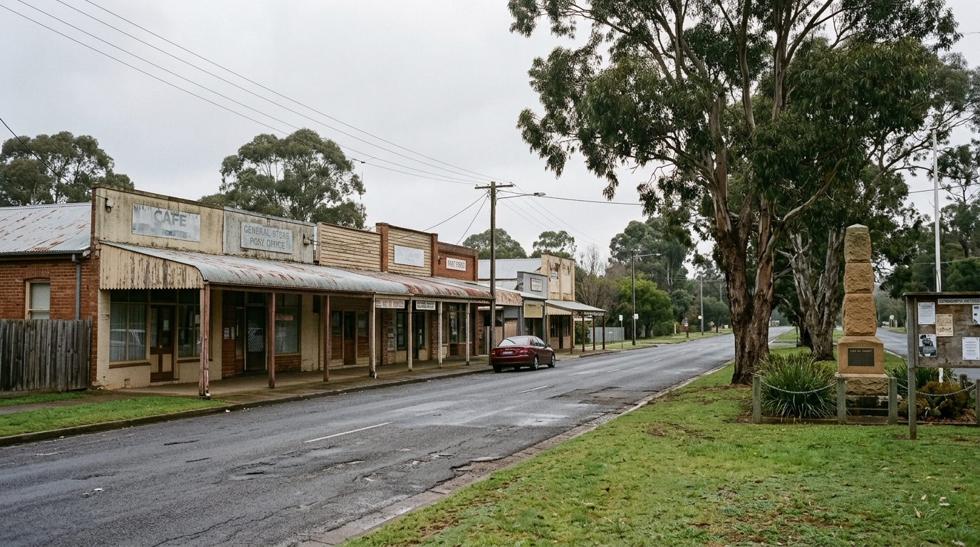
An interim strategy is neither a rezoning nor silence. It signals how the department thought about the area in March 2022 while deferring the statutory decision.
That middle path shows the department can act on land it has not rezoned. The four remaining precincts have received nothing equivalent.
What Applies to Your Block If It Is Not on the Map
Land outside the application map keeps the zoning it already had under the relevant council instrument. In much of this area that means a rural zone rather than an employment zone.
Council remains the consent authority for ordinary applications on that land. The state significant pathway that carries the big Aerotropolis estates does not open simply because a block sits nearby.
The Controls That Reach You Anyway
Airport safeguarding provisions still apply, covering obstacle limitation surfaces, aircraft noise and land uses that attract wildlife. Transport corridor provisions apply on the same basis.
The Wianamatta South Creek flooding policy also runs on catchment lines rather than precinct lines, so an unzoned parcel in a mapped flood area carries those requirements too.
What the Department Has Not Published
No rezoning date exists for any of the four precincts. No draft precinct plan has been exhibited, and no discussion paper of the Luddenham Village kind has followed.
The department has also not said whether the four will be rezoned together or separately, or whether the employment focus applied to the first five will carry across.
Reading that silence as a decision would be a mistake. It reflects sequencing and resourcing more than any judgment about the land, and sequencing changes.
How to Check Which Controls Apply to Your Block
Open the Spatial Viewer and read the zone that applies to the parcel. If it returns a council rural zone rather than an Aerotropolis employment zone, the block sits outside the application map.
Check the airport safeguarding layers next, because those apply regardless of zoning. Obstacle limitation surfaces and noise contours constrain building height and use.
Then check whether the parcel falls inside a mapped critical flood area using the flood and bushfire mapping tools, and confirm the council flood planning area through the local environmental plan.
Finally, search the Major Projects register for applications on neighbouring land. Approvals next door shape access, drainage and traffic long before any rezoning arrives.
What Is Settled About These Aerotropolis Precincts
Five things about these precincts carry a document and a date. Five others do not, and the difference decides how much weight a purchase decision can bear.
The absence of a date matters most. A buyer paying for rezoning potential in one of the four is paying for something no published document supports.
That does not make the land a poor purchase. It makes the timing unknowable, which is a different risk and one worth pricing honestly.
Aerotropolis Precinct Status Summary
| Precinct | Zoning status | Precinct plan | What a landowner relies on |
|---|---|---|---|
| Aerotropolis Core | Zoned 1 October 2020 | Yes, amended twice | Aerotropolis employment and mixed use zones |
| Northern Gateway | Zoned 1 October 2020 | Yes | Aerotropolis employment zones |
| Badgerys Creek | Zoned 1 October 2020 | Yes | Aerotropolis employment zones |
| Agribusiness | Zoned 1 October 2020 | Yes | Aerotropolis employment zones |
| Wianamatta–South Creek | Zoned 1 October 2020 | Yes | Zoning plus the catchment flooding policy |
| Luddenham Village | Not rezoned | Interim strategy, March 2022 | Council zoning plus the interim strategy |
| Rossmore | Not on the map | None published | Council zoning and airport safeguards |
| Kemps Creek | Not on the map | None published | Council zoning and airport safeguards |
| North Luddenham | Not on the map | None published | Council zoning and airport safeguards |
| Dwyer Road | Not on the map | None published | Council zoning and airport safeguards |
Summary
The Aerotropolis reads as one project from the outside. Inside the policy it splits cleanly into land that was rezoned in a single 2020 decision and land that was not.
Nearly six years of amendments, control plans and master plans have all worked on the first group. The second group has received no precinct plan and no date.
Meanwhile the restrictive half of the policy already reaches the unzoned land, and travels up to 30 kilometres from the airport.
Anyone holding or buying in this part of Western Sydney should confirm which of those two groups the block falls into before assuming anything about its future.
How many Aerotropolis precincts are there?
Nine. The policy names Aerotropolis Core, Northern Gateway, Wianamatta–South Creek, Badgerys Creek, Agribusiness, Dwyer Road, Kemps Creek, North Luddenham and Rossmore.
Which Aerotropolis precincts have been rezoned?
Five. Aerotropolis Core, Northern Gateway, Wianamatta–South Creek, Badgerys Creek and Agribusiness took their zoning when the policy commenced on 1 October 2020.
When will Rossmore and Kemps Creek be rezoned?
The department has published no date, no draft precinct plan and no program for the four remaining precincts as at July 2026.
Do Aerotropolis controls affect land outside the precincts?
Yes. Airport safeguarding and transport corridor provisions apply to surrounding land and extend up to 30 kilometres from the airport.
This article is general information only and is not financial, legal or planning advice. See the Disclaimer for details.