Written by Daniel Whitfield, founder of Australia Develops, who has personally bought, subdivided, and built property across Australia.
This WSI transport guide starts with the biggest challenge: a major operational critique of any greenfield airport project is its physical distance from established metropolitan hubs.
Located approximately 41 kilometres west of the Sydney central business district, Western Sydney International (Nancy-Bird Walton) Airport (WSI) requires a highly integrated, multi-billion-dollar surface transport framework to remain a viable option for passengers and freight operators.
To solve this spatial challenge, a combination of driverless rapid transit, toll-free express motorways, and upgraded regional arterial roads links the outer western perimeter directly with the wider Sydney metropolitan basin.
This WSI transport guide provides a technical breakdown of every key network component.
Core Infrastructure Components at a Glance
Understanding the structural mechanics, rollout stages, and realistic peak-hour commute configurations of this network is essential for logistics providers, commercial tenants, and property buyers across the region.
A failure to map travel timelines accurately can result in unexpected delays and reduced operational margins. Additionally, foreign Direct Investment (FDI) Australia commitments into commercial real estate and logistics facilities along these corridors have accelerated significantly as the transport networks reach completion.
The table below details the core physical infrastructure components anchoring the primary transport corridors of the WSI precinct.
Why 24-Hour Operations Matter for Transit Planning
For complementary analysis across the WSI master series, the WSI 24-hour curfew-free operations overview explains how the absence of overnight flight bans affects freight logistics planning, while confirmed airline routes and international fare benchmarks are detailed in the WSI airlines and airfares analysis.
The video below explains WSI’s 24-hour, curfew-free operating model, a key factor shaping the transit and commute patterns covered in this guide.
Rail Logistics: The Sydney Metro Western Sydney Airport Line
Transport for NSW’s Sydney Metro Western Sydney Airport Project page tracks construction milestones for this rail corridor, while the Sydney Metro — Western Sydney Airport portal coordinates integrated multimodal transport planning around the aerotropolis precinct.
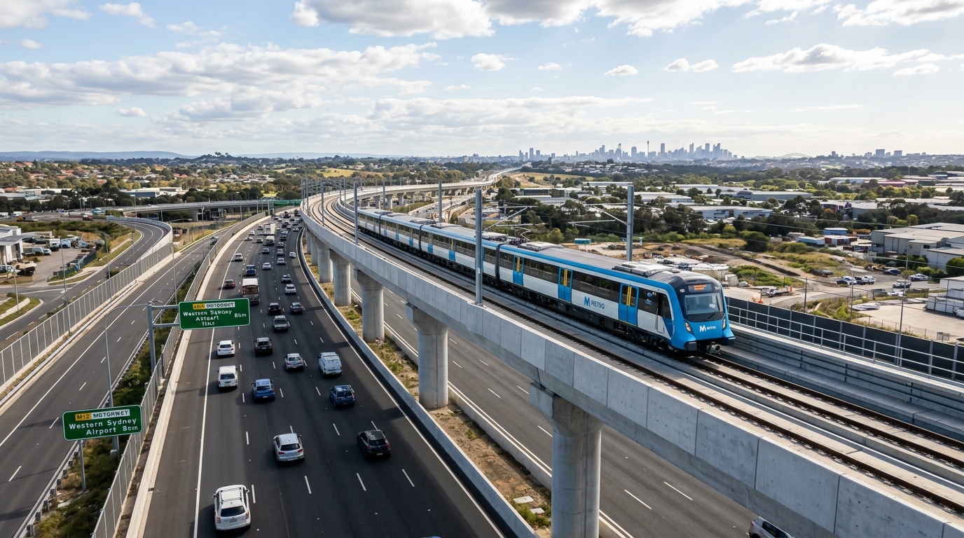
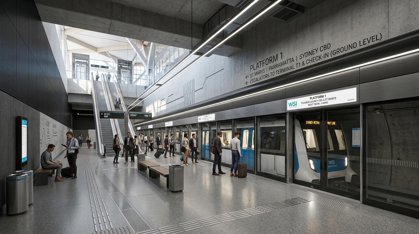
The Sydney Metro WSI line is a 23-kilometre driverless rapid transit corridor offering scheduled, automated service independent of Sydney’s legacy heavy rail network.
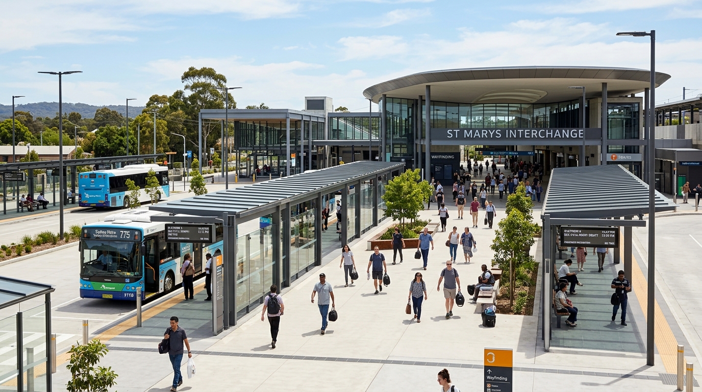
Six purpose-built stations serve the corridor: St Marys (interchange with the T1 Western Line), Orchard Hills, Luddenham, Airport Business Park, Airport Terminal, and the new precinct capital of Bradfield.
For a closer look at how the Bradfield City Centre and Bringelly precinct are shaping up around this rail corridor, the video below walks through the current progress.
Driverless Fleet and Safety Integration
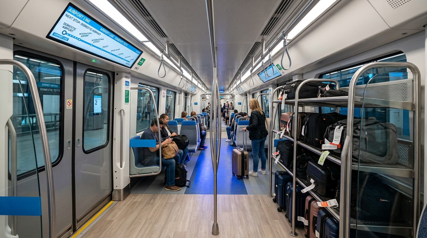
The automated, three-carriage train configurations feature wider entrance platforms and internal configurations engineered specifically for airport commuters, including dedicated luggage racks and live digital flight information display screens.
Full-height glass platform screen doors at all six stations prevent track access and align the line with international high-capacity transit safety standards. Moreover, wider platforms and terminal security gates manage large crowds during peak international flight arrival windows.
Navigating the Post-Opening Transit Gap
The Department of Infrastructure’s aviation policy hub outlines federal oversight of the WSI project, and the Western Sydney International Airport official site publishes updated construction and opening timelines directly.
Commercial passenger flights commence at WSI on October 25, 2026. The Sydney Metro WSI rail line will continue dynamic track testing and safety certifications during the initial flight rollout phase.
To manage this interim period, Transport for NSW will operate the WSI Link — a dedicated, high-frequency free shuttle bus running every 30 minutes between St Marys train station and the WSI passenger terminal from 4:30 AM until midnight (extended to 1:00 AM on Fridays and Saturdays).
Road Infrastructure: The Toll-Free M12 Motorway and Key Arterials
Transport for NSW’s M12 Motorway project page documents the corridor’s toll-free highway access into the WSI terminal gates.
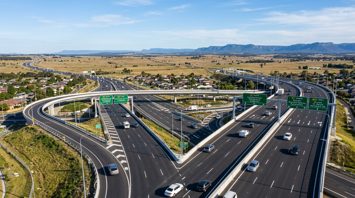
The M12 Motorway is a toll-free, 16-kilometre dual-carriageway expressway connecting the M7 Motorway at Cecil Hills directly to the WSI terminal gates, completely bypassing local suburban intersections and traffic lights.
The Toll-Free Commercial Advantage
Unlike Sydney Kingsford Smith Airport at Mascot — which routes vehicles through toll-heavy corridors including the Eastern Distributor and WestConnex — vehicles accessing WSI via the M12 face no motorway tolls.
This structure delivers long-term operational cost savings for heavy vehicle freight operators moving cargo between Western Sydney warehousing hubs and the 24-hour cargo terminal.
The M7-M12 interchange is fully open to traffic, linking the western orbital network directly to the regional road framework. Therefore, direct tarmac access will remain restricted until the formal airport launch in late October 2026.
Property investment in Western Sydney industrial land near these interchange nodes has intensified, driven by occupier demand from logistics firms seeking cost-efficient last-mile access.
Local Bus Fleet Deployments
A $302.7 million state government investment in zero-emission electric bus infrastructure supports the main highway links across Greater Western Sydney.
Five permanent public bus routes connect the airport precinct to surrounding regional hubs, including Campbelltown, Liverpool, Penrith, and local rail stations.
The 43-bus fleet operates daily between 5:00 AM and 10:00 PM with consistent 30-minute frequencies, featuring specialised low-curb boarding profiles and low-floor luggage storage spaces engineered for transit workers and leisure travellers.
Realistic Commute Scenarios: Greater Sydney Nodes to WSI
Commute-time and travel-pattern benchmarks for Greater Sydney draw on data published by the Australian Bureau of Statistics (ABS).
Realistic peak-hour congestion scenarios, rather than unencumbered off-peak estimates, should shape commute-time analysis. The low-lying geography of the Cumberland Plain concentrates vehicular flows onto explicit arterial bottlenecks during commuter rush hours.
The table below outlines practical commute options, expected peak-hour travel times, and primary routes connecting major Sydney metropolitan centres to WSI.
Implication for Regional Property Markets: Transit-Oriented Developments
The NSW Department of Planning’s Western Sydney Aerotropolis page administers land use and precinct planning controls adjacent to these transport corridors, while broader infrastructure coordination across the precinct sits with the Bradfield Development Authority (formerly the Western Parkland City Authority).
Property buyers tracking commute-time accessibility can also reference the Western Sydney Airport property hotspots suburb guide for a detailed breakdown of station-adjacent land values.
The rollout of this multi-modal transport network permanently reshapes real estate value distributions across the outer western perimeter.
Land parcels situated within walking distance of the six new Sydney Metro stations are experiencing structural rezonings from low-density agricultural uses to high-density Transit-Oriented Development (TOD) overlays, permitting the construction of multi-storey apartment blocks and mixed-use commercial centres.
Investors and private buyers targeting these newly accessible corridors must look past broad infrastructure marketing and perform thorough due diligence on site-specific physical constraints.
1. Navigating Greenfield Infrastructure Risks
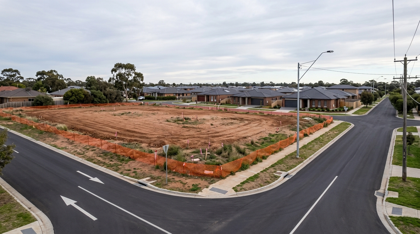
Many emerging residential subdivisions and commercial business parks adjacent to the new metro line are sold as off-the-plan, unregistered land packages.
If local councils or utility authorities face delays in approving connecting access roads or drainage networks, the formal registration of the land title can face prolonged delays, disrupting building contracts and impacting pre-approved construction finance.
Critical advisory information on protecting investment capital from these registration timeline risks is available in the guide on managing unregistered land in Australia and why off-the-plan land can go badly wrong.
2. Factoring Site Preparation and Civil Budgets
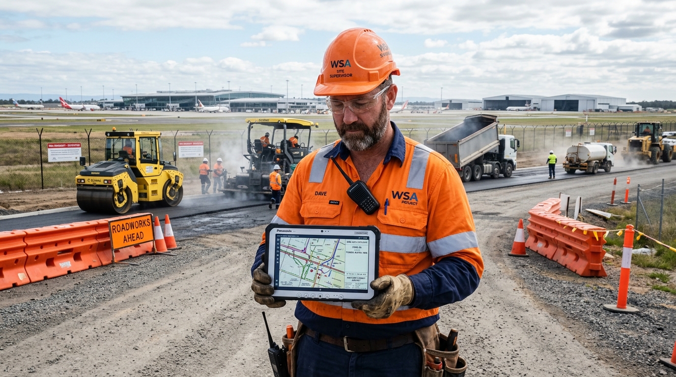
The physical terrain of Western Sydney requires careful attention to civil site costs. Overall, highly reactive clay soils, natural grading challenges, and the absence of established municipal stormwater connections can introduce substantial costs to standard building tenders.
Developers must account for these variations before committing to land purchases near new highway interchanges. For instance, a detailed technical breakdown of these construction variables is available in the guide on site costs in Australia and why cheap land can cost more to build on.
3. Verifying Environmental Risk Overlays
The South-West and Western growth corridors sit within the broad Hawkesbury-Nepean catchment area, meaning regional flood storage lines or bushfire vegetation buffers affect several emerging precincts.
These environmental overlays require strict building compliance — such as elevated floor levels or reinforced fire-rated external materials — which can limit structural configurations and drive up building insurance premiums.
An essential guide for independently auditing a site’s precise environmental exposure before executing an unconditional contract is available on flood and bushfire maps Australia: essential mapping tools before buying property.
WSI Transport Guide: Key Data at a Glance
The transport matrix below summarises the core performance indicators across the WSI multi-modal network.
| Performance Indicator | Technical Specification | Operational Context |
|---|---|---|
| Sydney Metro WSI Length | 23 Kilometres (Fully Automated) | Operates as a driverless rail network independent of heavy rail lines. |
| M12 Motorway Toll Rate | $0.00 (Toll-Free Corridor) | Eliminates highway access fees for passenger cars and heavy freight. |
| Interim Bus Fleet Capacity | 43 Electric Low-Floor Vehicles | Deployed on 5 permanent regional routes to support early workforce access. |
| Metro Station Footprint | 6 Purpose-Built Transit Nodes | Focuses high-density commercial and residential rezonings at key nodes. |
Significantly, To contextualise how these physical transport links connect with the broader commercial framework shaping the region, see the foundational report on Western Sydney Airport 2026 airlines, transport and opening dates.
Evaluating the long-term government commitments funding these multi-modal road and rail links requires a thorough review of the Western Sydney Aerotropolis 2026 investment case.
This article is general information only and is not financial, legal or planning advice. See the Disclaimer for details.