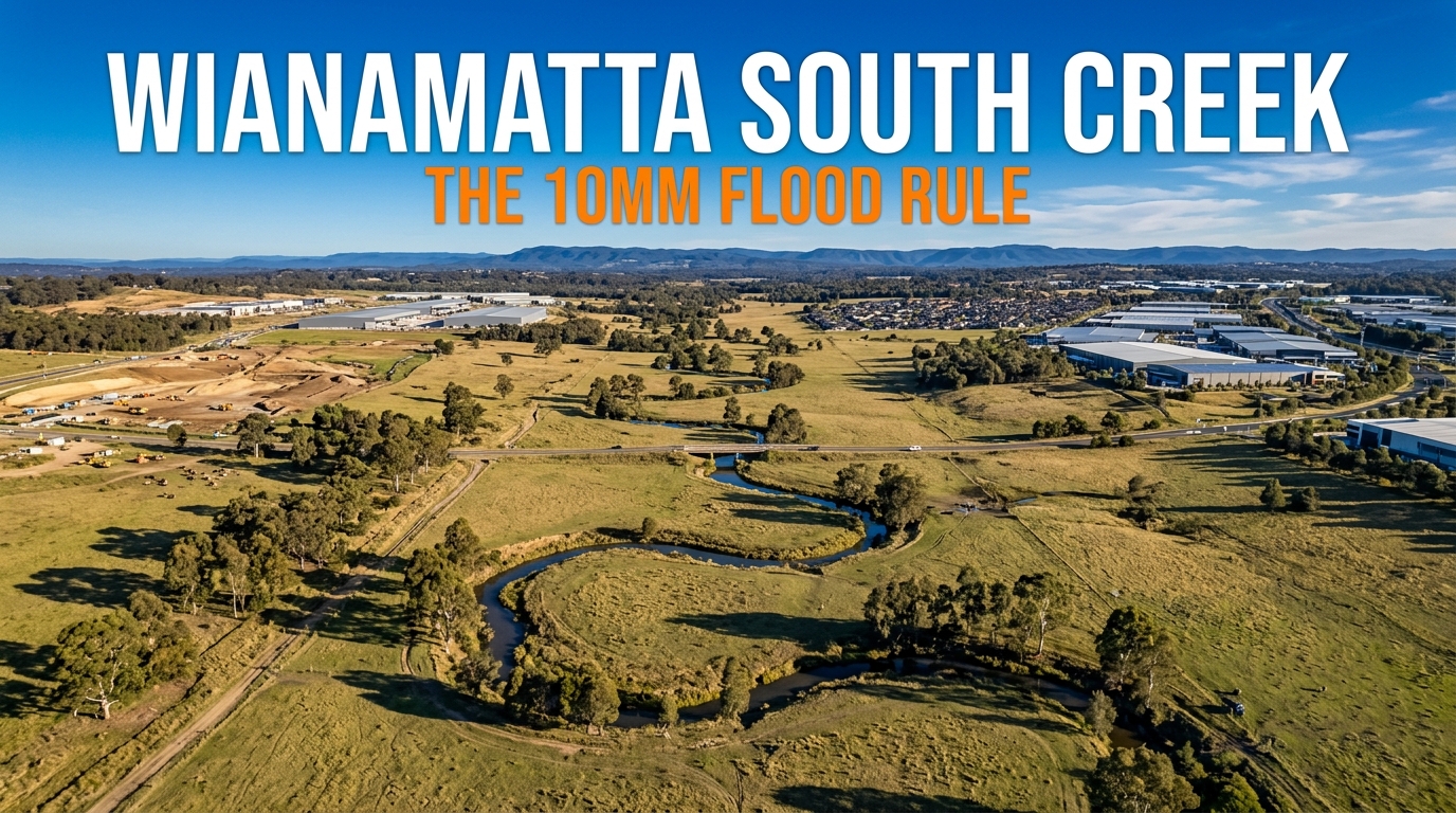
The Wianamatta South Creek flooding policy sets a threshold most landowners will find surprisingly low. A development that raises flood levels on neighbouring property by more than 10 millimetres counts as a significant adverse impact.
The Department of Planning, Housing and Infrastructure finalised the policy in March 2026 and published it in April. It governs land between Bringelly Road and the M4 Motorway.
Written by Daniel Whitfield, founder of Australia Develops, who has personally bought, subdivided, and built property across Australia.
The Wianamatta South Creek Flooding Policy in 2026
The policy divides affected land into two kinds of area and applies a different rule to each. Six numbered requirements follow from that split.
| Area or requirement | What it controls | Effect |
|---|---|---|
| Critical flood areas | Floodway corridor, high level floodway corridor, critical flood storage | No cutting, filling, earthworks or structures, with narrow exceptions |
| Controlled vegetation densification areas | How dense planting may become | Capped by Manning’s roughness values of 0.080, 0.100 or 0.120 |
| Significant adverse impact | The legal test | Flood level up 10 mm, velocity up 10 per cent, or flows redistributed 15 per cent |
| Flood Impact and Risk Assessment | The evidence required | Five flood events, climate change, and cumulative effects up and downstream |
| Flood compatible fencing | Fencing in critical flood areas | Open design that does not impede or redirect floodwaters |
| Landscape plan | Planting in controlled areas | Vegetation modelled at maturity inside the flood assessment |
The Catchment and the Councils It Reaches
Wianamatta South Creek runs from Narellan north to the Hawkesbury River near Windsor. Its catchment covers 640 square kilometres and drains a large part of Western Sydney.
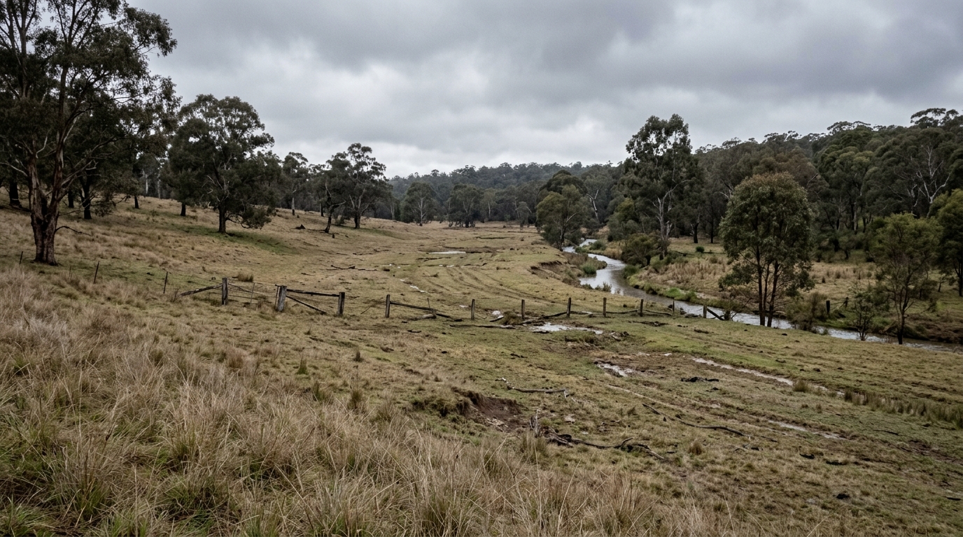
Floodwaters from the creek can inundate land across six local government areas: Penrith, Blacktown, Liverpool, Fairfield, Camden and Hawkesbury City.
The policy itself applies more narrowly. It covers the mapped critical flood areas and controlled vegetation densification areas inside Penrith, Blacktown, Liverpool and Fairfield.
That catchment holds the Western Sydney Aerotropolis, the Orchard Hills state-led rezoning, and both the North West and South West Growth Centres.
Where the Wianamatta South Creek Policy Applies
Schematic layout — relative positions only, not to scale.
The policy area runs between Bringelly Road in the south and the M4 Motorway in the north. Map 1 in the policy sets the boundary.
Google Maps shows the streets but not the flood mapping. For the areas that actually apply to a parcel, the NSW Planning Spatial Viewer and the Advisian flood study figures are the authoritative sources.
RULE 1 — No Cutting, Filling or Structures in a Critical Flood Area
APPLIES TO: CRITICAL FLOOD AREAS · POLICY ITEM 1
Inside a critical flood area the policy allows no cutting, filling, earthworks or construction of physical structures. That is the starting position, and the exceptions are narrow.
Six categories escape the ban: flood modification measures, maintenance of public assets, stormwater retention and detention basins, environmental protection works, and creek crossings such as pedestrian, rail and road bridges.
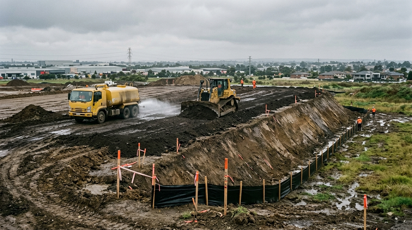
Even those must clear the impact test. A Flood Impact and Risk Assessment has to show no significant adverse effect on flood behaviour before the work proceeds.
A critical flood area covers three mapped things: the floodway corridor, the high level floodway corridor and critical flood storage. The department notes these generally sit inside each council’s existing flood planning area.
Works assessed under Part 5.1 of the Environmental Planning and Assessment Act carry an extra step. Government flood specialists at the Department of Climate Change, Energy, the Environment and Water must review the assessment before work starts.
RULE 2 — The 10-Millimetre Test That Defines a Significant Impact
APPLIES TO: EVERY ASSESSMENT UNDER THE POLICY · GLOSSARY DEFINITION
The policy defines a significant adverse impact in three numbers. Any one of them triggers the definition, and none of them is generous.
Flood levels rising by more than 10 millimetres on surrounding properties counts. So does downstream velocity increasing by more than 10 per cent, or flows being redistributed by more than 15 per cent.
Ten millimetres is one centimetre. A design that lifts a neighbour’s flood level by the thickness of a floor tile has crossed the line the policy draws.
That threshold changes how a site behaves in practice. Fill that a developer would once have spread across a low corner now has to be modelled against a one-centimetre tolerance on land the developer does not own.
The Mamre Road stormwater dispute showed how a drainage rule can reprice a site. This one works differently, because it constrains the design rather than the bill.
RULE 3 — Five Flood Events, Not One
APPLIES TO: EVERY FLOOD IMPACT AND RISK ASSESSMENT · POLICY ITEM 3
Most flood controls in New South Wales turn on the 1 per cent annual exceedance probability event. This policy asks for five.
An assessment must model the 20 per cent, 50 per cent and 1 per cent AEP events, the 1-in-500-year AEP event, and the probable maximum flood. Pre-development and post-development scenarios both.
The department explains why the 1 per cent event alone will not do. High level floodway corridors carry significant flow only in rarer events, along flood runners and breakouts that the 1 per cent flood never activates.
Climate change impacts also enter the assessment. So do cumulative impacts on properties and public assets upstream, downstream and around the site.
RULE 4 — What a Flood Impact and Risk Assessment Must Prove
APPLIES TO: CRITICAL FLOOD AREAS AND CONTROLLED VEGETATION AREAS · POLICY ITEM 3
A suitably qualified engineer must prepare the assessment under Flood Risk Management Guideline LU01. The policy then adds requirements specific to this catchment.
Work in Thompsons Creek or Badgerys Creek must extend the cumulative impact analysis past the confluence with South Creek. Stopping at the property boundary does not satisfy the policy.
The confluence with South Creek must serve as one of the critical flow points for comparing hydrographs against the existing conditions in the Advisian study of May 2022.
The assessment must also include two downstream hydraulic control points and one upstream control point, again across all five flood events.
Where South Creek meets the Badgerys Creek, Cosgrove Creek and Kemps Creek tributaries below Elizabeth Drive, that junction forms part of the assessment as well.
RULE 5 — Planting Trees Is Now a Flood Control
APPLIES TO: CONTROLLED VEGETATION DENSIFICATION AREAS · POLICY ITEMS 5 AND 6
This requirement surprises people, and it is the part worth reading twice. Vegetation slows floodwater, so the policy caps how dense planting may become.
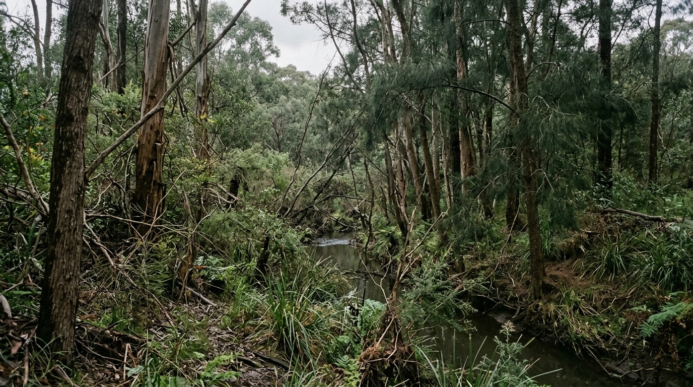
Engineers measure that resistance with Manning’s roughness coefficient. The policy assigns each mapped area a ceiling and holds landscaping to it.
| Densification class | Manning’s roughness value | What the planting can look like |
|---|---|---|
| Sparse | 0.080 | Scattered trees with minimal undergrowth |
| Moderate | 0.100 | Closely spaced trees with minimal to moderate undergrowth |
| High | 0.120 | Closely spaced trees with unmanaged, dense undergrowth |
The Landscape Plan Must Model Mature Trees
A landscape plan prepared with the hydraulic engineer has to accompany the assessment. It must show the proposed vegetation in its mature condition, not as planted.
That mature vegetation then goes into the post-development case of the flood assessment. The planting must not cause a significant adverse impact up to the 1-in-500-year event.
Revegetation and tree canopy targets therefore collide with flood modelling in this catchment. A landowner planting for canopy cover can breach a flood control without touching a single cubic metre of soil.
RULE 6 — Flood Compatible Fencing
APPLIES TO: CRITICAL FLOOD AREAS · POLICY ITEM 4
Fencing inside a critical flood area must be of open design. It cannot impede or redirect floodwaters, and it cannot push debris onto surrounding land.
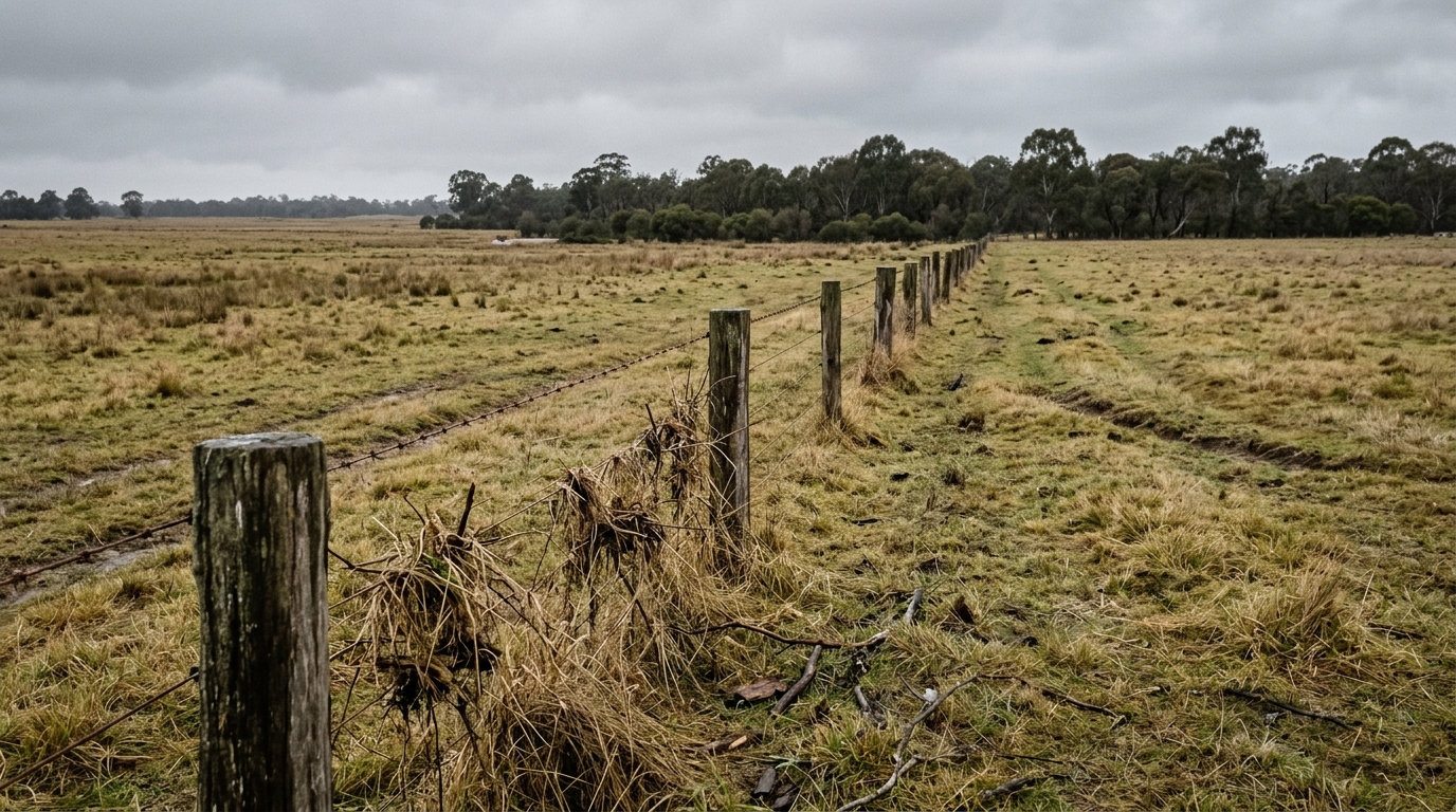
The requirement sounds minor beside the earthworks ban. It matters on rural properties, where a solid boundary fence across a floodway can lift levels next door.
Where the Wianamatta South Creek Policy Came From
Infrastructure NSW commissioned two flood studies from the engineering firm Advisian. The first mapped existing conditions across the catchment, and the second modelled what development would do to them.
The 2023 cumulative impact study reached a blunt conclusion. It recommended no fill, no increased vegetation densification and no structures that could impede floodwaters in floodway corridors and critical flood storage areas.
Allowing those activities, the study found, would significantly raise flood levels for existing and future development across the catchment. The policy converts that finding into an assessment rule.
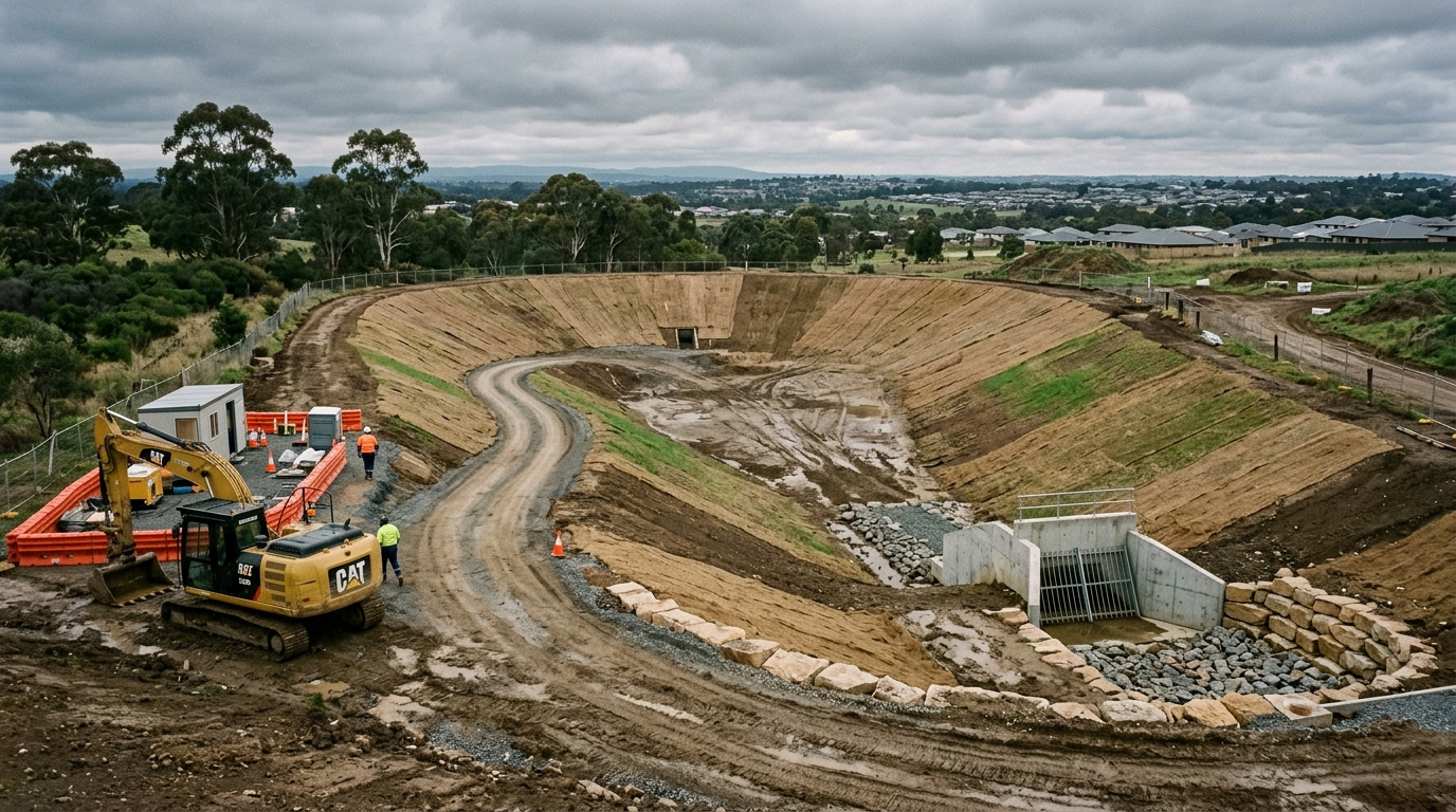
The department’s own Flood Function guideline had already said something similar. Filling and development in floodway corridors and flood storage areas can affect flood behaviour to the detriment of the existing community.
What the Wianamatta South Creek Policy Does Not Do
The document is guidance, not a prohibition written into law. The department recommends that planning and consent authorities consider it, and lists five situations where it should apply.
Those cover regional and district plans, local strategic planning statements, planning proposals and state-led rezonings, development control plans, and development applications including state significant development and infrastructure.
It also does not replace council flood controls. The critical flood areas generally sit inside existing flood planning areas, so a parcel can face both sets of requirements at once.
The policy sets no fee and no contribution. Its cost falls on design and on the engineering work needed to prove compliance, not on a charge per hectare.
How to Check Whether Your Land Is Affected
Start with the policy document and its application map, which shows the band between Bringelly Road and the M4 where the controls operate.
Then read the Advisian cumulative impact study. Figures 5.1 to 5.6 map the critical flood areas, and figures 6.1 to 6.6 map the sparse, moderate and high vegetation densification areas.
Check the council flood planning area next, through the Spatial Viewer and the relevant local environmental plan. The two layers overlap but they are not identical.
For a site already in the development system, the flood and bushfire mapping tools give a first read before an engineer is engaged.
The Wianamatta South Creek Rules and What Each Requires
| Rule | Applies to | What it requires | Source |
|---|---|---|---|
| 1. No earthworks or structures | Critical flood areas | Six narrow exceptions, each needing a flood assessment | Policy item 1 |
| 2. The 10 mm test | Every assessment | 10 mm level rise, 10 per cent velocity, 15 per cent flow redistribution | Glossary |
| 3. Five flood events | Every assessment | 20%, 50%, 1% AEP, 1 in 500 year AEP and PMF | Policy item 3 |
| 4. Assessment content | Both area types | Confluence analysis, three control points, climate change | Policy item 3 |
| 5. Vegetation limits | Controlled densification areas | Manning’s values of 0.080, 0.100 or 0.120, modelled at maturity | Policy items 5 and 6 |
| 6. Flood compatible fencing | Critical flood areas | Open design that does not redirect water or debris | Policy item 4 |
Summary
The policy reads as a technical document, but its effect is commercial. It tells anyone developing in this catchment that the design has to work for the neighbours as well as the site.
One centimetre is the tolerance. A scheme that lifts flood levels on surrounding property by more than 10 millimetres in any of five events has failed the test.
The vegetation control is the part most likely to catch people out. Planting is regulated here, and a landscape plan now needs a hydraulic engineer beside the landscape architect.
Land in the Badgerys Creek and Agribusiness precincts sits inside this catchment. So does much of the Northern Gateway, where Elizabeth Drive crosses the creek system.
What is the Wianamatta South Creek flooding policy?
It is a NSW planning policy finalised in March 2026 that manages the cumulative effects of development on flooding in the Wianamatta South Creek floodplain, between Bringelly Road and the M4.
What counts as a significant adverse impact?
A flood level rise of more than 10 millimetres on surrounding property, a downstream velocity increase above 10 per cent, or flows redistributed by more than 15 per cent.
Can you fill land in a critical flood area?
No, apart from six narrow exceptions such as detention basins and creek crossings. Each exception still needs a Flood Impact and Risk Assessment showing no significant adverse impact.
Does the policy really control tree planting?
Yes. In controlled vegetation densification areas, planting must stay within Manning’s roughness values of 0.080, 0.100 or 0.120, modelled in the vegetation’s mature condition.
This article is general information only and is not financial, legal or planning advice. See the Disclaimer for details.